Irshalgad Trek
Raigad, Maharashtra
Opens without signal on this phone, with the map file and checklist. Saved for offline →
- Max altitude
- 1,128 m
- Satellite terrain suggests about 530 m
- Days
- 1 day
- Distance
- 7 km
- Difficulty
- Moderate
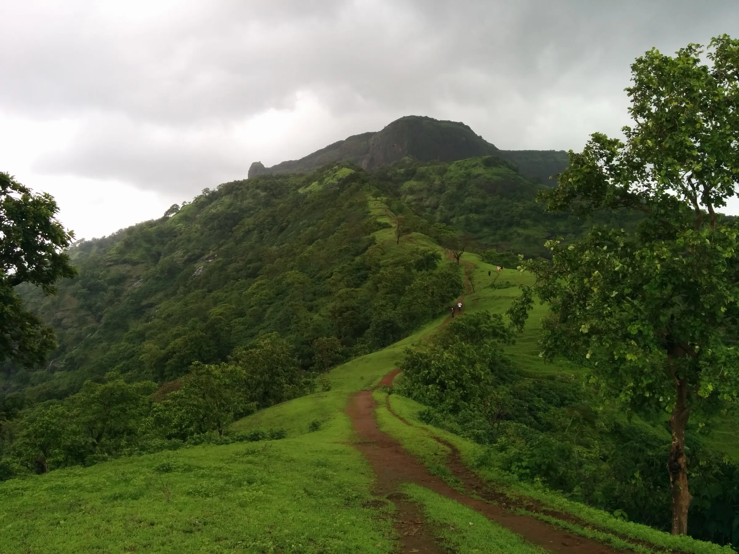
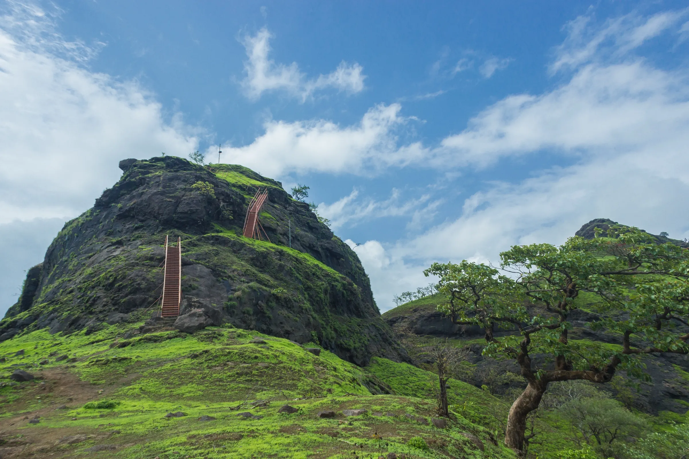
A short day hike of about 7 km with roughly 500 m of continuous climbing from the Chowk plain, then a rock patch and an exposed section to the base of the pinnacle. The final climb above the Needle Hole is a near-vertical rock pitch with fixed ladders and ropes that has caused deaths; Indiahikes advises self-guided trekkers to stop at the Needle Hole.
Photos
On the trail
The route
Day by day
Day 1 · highest point
Nanivali, near Chowk → Nanivali (via Irshalwadi and the Irshalgad pinnacle)
40 m → 1,128 m → 40 m
Ups and downs
Altitude profile
Where it is
Map
Trailhead and high point only — not a recorded track. Use it with a proper map.
Weather
Next 5 days on the trail
Live forecast for the trailhead and the high point. Mountain weather changes fast — check again on the morning you start.
Trailhead · Nanivali, near Chowk
at 40 mLoading forecast…
High point · Irshalgad pinnacle
at 1,128 mLoading forecast…
Each day: high / low °C · rain mm and chance · snow cm · wind km/h
Weather data: Open-Meteo.comModel forecast, not an official warning. For alerts follow IMD and the local administration.
Plan the trip
How to reach
- Trailhead
- Nanivali, near Chowk
- Nearest railway
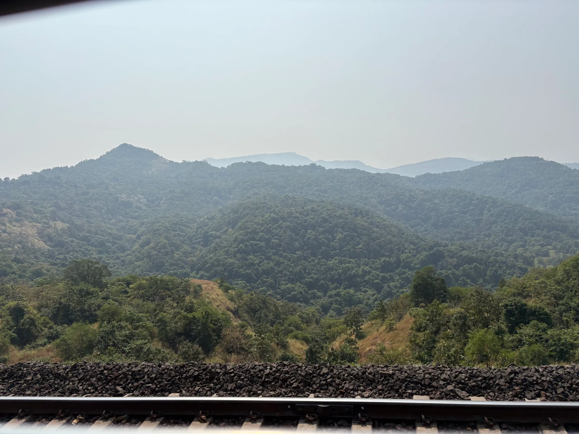
- Chowk (CHOK); Karjat is the nearest major railhead
- Nearest airport
- Chhatrapati Shivaji Maharaj International Airport, Mumbai (Pune airport is the alternative)
- By road
- Mumbai or Pune via Panvel or Karjat to Chowk on the Panvel-Karjat road, then a short road to Nanivali; Karjat bus depot: any Panvel-bound bus, get down at Chowk
- Drive
- About 2 h from Mumbai
Plan the trip
Permits and fees
We could not confirm the current permit rules and fees from an official source. Check with the local forest department or tourism office before you go.
Plan the trip
Cost
Self-guided
₹200–1,500
With an operator
₹899–1,260
Per person. Guided prices seen October 2026: Treks and Trails ₹899 for a night trek ex-Karjat (no departures listed at the time); Trekkers of India ₹1,199 + 5% GST ex-Pune with return bus, breakfast and lunch. Self-guided is an estimate ex-Karjat: local train and bus or shared auto to Chowk, food, and optionally a local guide from the base village, whose fee is negotiated.
Gear
Top picks for this trek
The gear that matters most on this route, chosen from its altitude, season and risks.
 Ad · affiliate link
 Ad · affiliate link
 Ad · affiliate link
 Ad · affiliate link
- Ad · affiliate link
 Ad · affiliate link
 Ad · affiliate link
 Ad · affiliate link
Store buttons open a search on that store, not a product we picked. As an Amazon Associate we earn from qualifying purchases. Photos show the kind of item, not a specific product. Affiliate disclosure
Packing checklist
Matched to this trek: altitude, season, days and the risks on the route.
Packed 0 of 22
Monsoon months (Jul–Sep): pack everything in plastic or a dry bag and wear shoes with good grip.
Tick each item as it goes in the bag.
Know before you go
Good to know
- Mobile network
- Indiahikes reports Airtel, Vodafone and Jio signal through most of the trek; Panvel police noted patchy signal in the forest between Irshalgad and Prabalgad.
- Last ATM
- Karjat or Panvel
- Nearest hospital
- Karjat and Panvel for first care; Navi Mumbai or Mumbai for serious cases
- Water
- No reliable water on the trail; carry at least 2 litres from home. The rock-cut cisterns on the fort are not a safe drinking source without treatment.
Highlights
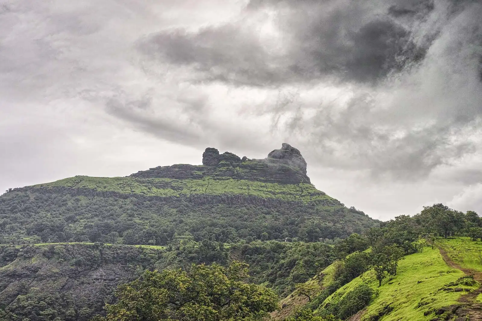
- The boat-shaped Irshalgad hill with its rock pinnacle, easy to pick out from the Matheran ridge and the Panvel-Karjat road
- The Needle Hole (Nedhe), a natural window in the rock below the summit
- Rock-cut water cisterns on a small fort top
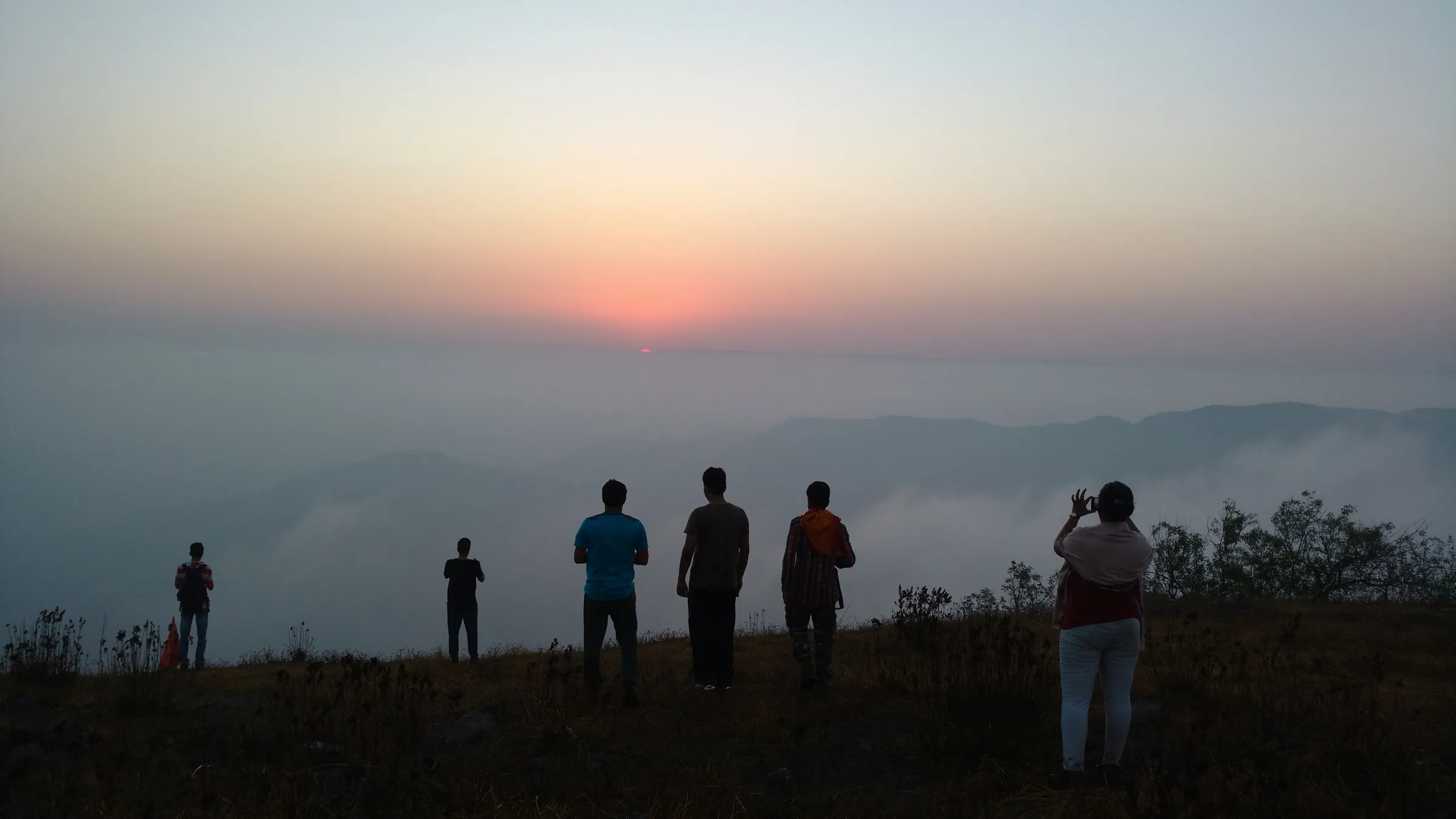
- Views over Morbe Dam reservoir and across to Prabalgad, Kalavantin, Matheran and Chanderi
Risks
- The final pitch above the Needle Hole is near-vertical rock with ladders and ropes tied by villagers; falls here have been fatal (Times of India reported a Kalyan trekker's death in December 2018). Go beyond the Needle Hole only with an experienced guide and protection.
- The rock patch and an exposed traverse to the pinnacle base are slippery in the monsoon.
- On 19 July 2023 a landslide buried much of Irshalwadi, the hamlet below the fort on the main trail, killing at least 27 people. A Section 144 order closed the area from 23 July to 6 August 2023. We found no standing ban since, and people trekked here in July 2025 and July 2026, but the slope is landslide-prone in heavy rain: avoid the hill during red or orange rain alerts and respect any local barricades.
- Raigad district issues seasonal prohibitory orders for named forts, waterfalls and dams in the monsoon, and these change week to week; check the Raigad collector's current orders before a June-September visit.
- The forest ridge towards Prabalgad is easy to get lost on: in July 2026 Panvel police rescued 13 trekkers who lost their way after dark descending from Irshalgad towards Machi Prabal. Start early, finish before dusk and take a local guide in the monsoon.
- Hot and humid outside the monsoon from March to May, with no shade near the top.
Know before you go
Questions
Is Irshalgad suitable for a first Sahyadri trek?
For active people, yes: Indiahikes rates it moderate, with about 1,600 ft (roughly 500 m) of continuous climbing from Chowk. If you lead a sedentary life, Indiahikes suggests an easier trek such as Sondai first. The summit pinnacle itself is a technical rock climb and not for beginners.
Do I need permission to trek to Irshalgad?
Indiahikes says no permit is needed, though you may be asked to enter your details in a visitor log kept at Irshalwadi for emergencies. Monsoon prohibitory orders in Raigad district can change this at short notice, so check locally.
How long does the Irshalgad trek take?
It is a one-day trek. The out-and-back route from Nanivali is about 6.5-8 km; Wikipedia gives about 2 hours up and 1.5 hours down to the pinnacle base, and operator day itineraries allow about 3 hours to reach the top.
How do I reach the Irshalgad base village?
Take a train to Karjat (or to Chowk station, CHOK, where some trains stop), then a Panvel-bound bus from Karjat to Chowk. Nanivali, the starting village, is about 2.3 km from Chowk; a wide path then climbs to Irshalwadi and the fort.
Is Irshalgad open after the 2023 Irshalwadi landslide?
The July 2023 prohibitory order around Irshalwadi ran only from 23 July to 6 August 2023, and trekkers have continued to climb Irshalgad since, including in July 2026. Avoid the slope in very heavy rain and follow any local or police instructions.
In an emergency
Save these numbers before you lose signal. Tap to call.
- 112All emergenciesIndia’s single emergency number — works in every state
- 108Ambulance
- 1077District disaster control room
You are in
District: RaigadMaharashtra
- Nearest hospital
- Karjat and Panvel for first care; Navi Mumbai or Mumbai for serious cases
- Last ATM
- Karjat or Panvel
- Phone network
- Indiahikes reports Airtel, Vodafone and Jio signal through most of the trek; Panvel police noted patchy signal in the forest between Irshalgad and Prabalgad.
Before you set off
- Tell someone your route and when you will be back.
- Carry a charged phone and a power bank.
- Download an offline map of the route.
- Turn back if the weather turns bad — the mountain will wait.
Questions about Irshalgad
No questions yet. Ask something and trekkers who have done it can answer.
Share your trek photo with #TreksAndTrails
I trekked this
Did Irshalgad look different from this page? Tell us what changed and we will check it.
Where this comes from
Sources
Last reviewed:
- Irshalgad Trek — Indiahikes
- Irshalgad Fort Trek: Embrace Nature's Beauty | Monsoon and Winter Adventure — Trekkers of India
- Irshalgad Fort Trek — Treks and Trails
- Irshalgad Fort Trek A Crowned Pinnacle | Night Trek — Treks and Trails
- Irshalgad — Wikipedia
- Irshalgad (peak, historic fort) — OpenStreetMap
- Prohibitory orders imposed in landslide-hit Raigad in Maharashtra — Deccan Herald (PTI)
- 13 TCS Employees Rescued After Losing Way During Irshalgad-Prabalgad Trek In Panvel — Free Press Journal
Photos: Bhanu1313, CC BY-SA 4.0; Pradeep717, CC BY-SA 4.0; Pradeep717, CC BY-SA 4.0