Hulukudi Betta Trek
Bengaluru Rural, renamed Bengaluru North (Doddaballapur taluk), Karnataka
Opens without signal on this phone, with the map file and checklist. Saved for offline →
- Max altitude
- 1,198 m
- Days
- 1 day
- Distance
- 2.6 km
- Difficulty
- Easy
Short climb of about 250 m, mostly on stone steps cut into the rock with shaded sections; only the last ~50 m to the summit is steep, loose and gravelly with few grip points.
The route
Day by day
Day 1 · highest point
Hulukudi Betta trek starting point, Sakkaregollahalli → Hulukudi Betta trek starting point (via Veerabhadraswamy temple and summit)
948 m → 1,198 m → 948 m
Ups and downs
Altitude profile
Where it is
Map
Trailhead and high point only — not a recorded track. Use it with a proper map.
Weather
Next 5 days on the trail
Live forecast for the trailhead and the high point. Mountain weather changes fast — check again on the morning you start.
Trailhead · Hulukudi Betta trek starting point (temple arch), Sakkaregollahalli
at 948 mLoading forecast…
High point · Hulukudi Betta summit (above Shri Veerabhadraswamy temple)
at 1,198 mLoading forecast…
Each day: high / low °C · rain mm and chance · snow cm · wind km/h
Weather data: Open-Meteo.comModel forecast, not an official warning. For alerts follow IMD and the local administration.
Plan the trip
How to reach
- Trailhead
- Hulukudi Betta trek starting point (temple arch), Sakkaregollahalli (nearest town: Doddaballapur)
- Nearest railway
- Doddaballapur (about 18 km by road)
- Nearest airport
- Kempegowda International Airport, Bengaluru
- By road
- Bengaluru (about 70 km via NH 44 and Doddaballapur, 1.5–2 hours); Doddaballapur (about 18 km; KSRTC buses towards Sulikunte stop at the trek start)
- Drive
- About 2 h from Bengaluru
Plan the trip
Permits and fees
We could not confirm the current permit rules and fees from an official source. Check with the local forest department or tourism office before you go.
Plan the trip
Cost
Self-guided
₹300–1,200
With an operator
₹1,200–2,000
Per person, ex-Bengaluru, day trip. No operator price for this hill was found in this research pass; the guided range is an estimate based on similar short Bengaluru Rural forest treks (e.g. Makalidurga, ₹1,290–1,950 with transport). Self-guided: BMTC 285-series bus to Doddaballapur and a KSRTC bus to the trek start, or a shared car, plus the online forest booking (check the fee on Aranya Vihaara) and food.
Gear
Top picks for this trek
The gear that matters most on this route, chosen from its altitude, season and risks.
 Ad · affiliate link
 Ad · affiliate link
 Ad · affiliate link
 Ad · affiliate link
 Ad · affiliate link
- Ad · affiliate link
 Ad · affiliate link
 Ad · affiliate link
Store buttons open a search on that store, not a product we picked. As an Amazon Associate we earn from qualifying purchases. Photos show the kind of item, not a specific product. Affiliate disclosure
Packing checklist
Matched to this trek: altitude, season, days and the risks on the route.
Packed 0 of 22
Monsoon months (Sep): pack everything in plastic or a dry bag and wear shoes with good grip.
Tick each item as it goes in the bag.
Know before you go
Good to know
- Mobile network
- Not confirmed; the hill is in open farmland near Doddaballapur, so expect usable signal for major networks with possible weak patches.
- Last ATM
- Doddaballapur (about 18 km)
- Nearest hospital
- Doddaballapur District Hospital, about 18 km
- Water
- Water is available only near the temples at the start; none further up. Carry about 2 litres per person. No food stalls on the trail.
Highlights
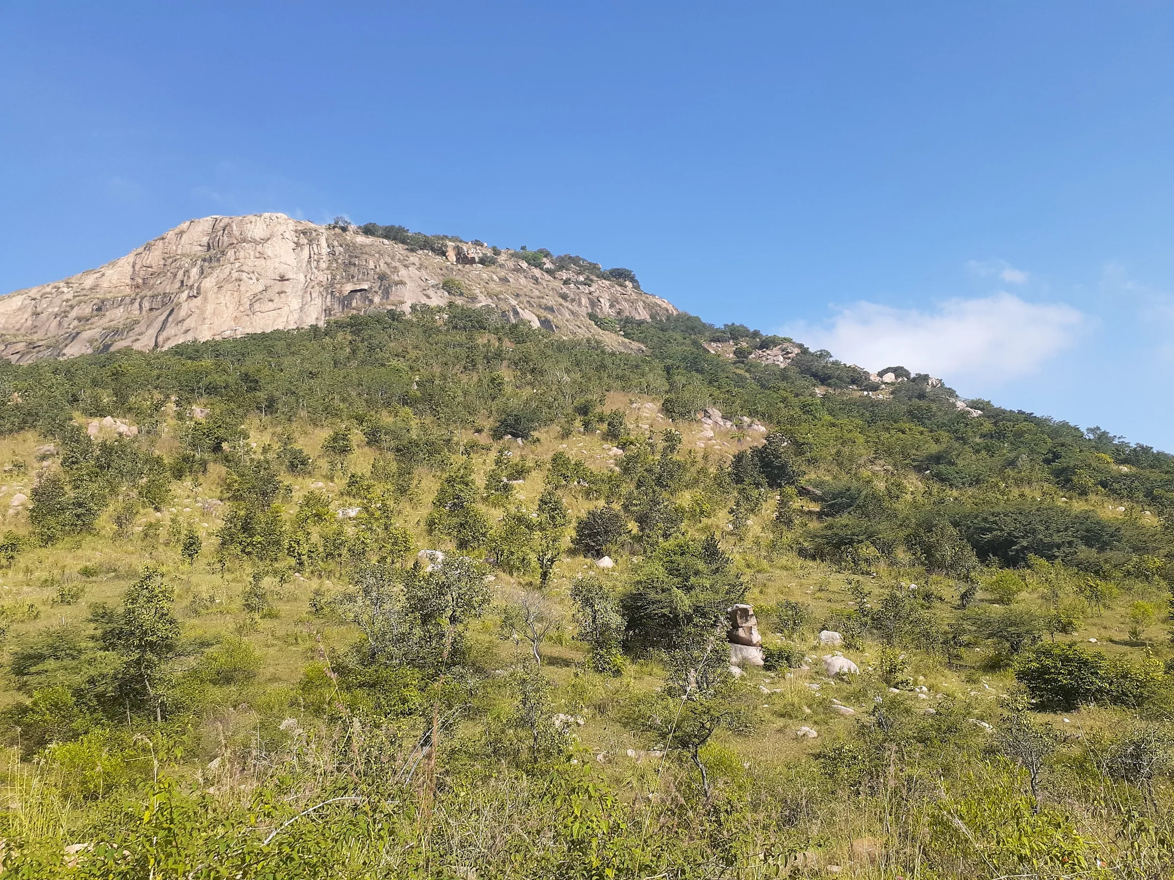
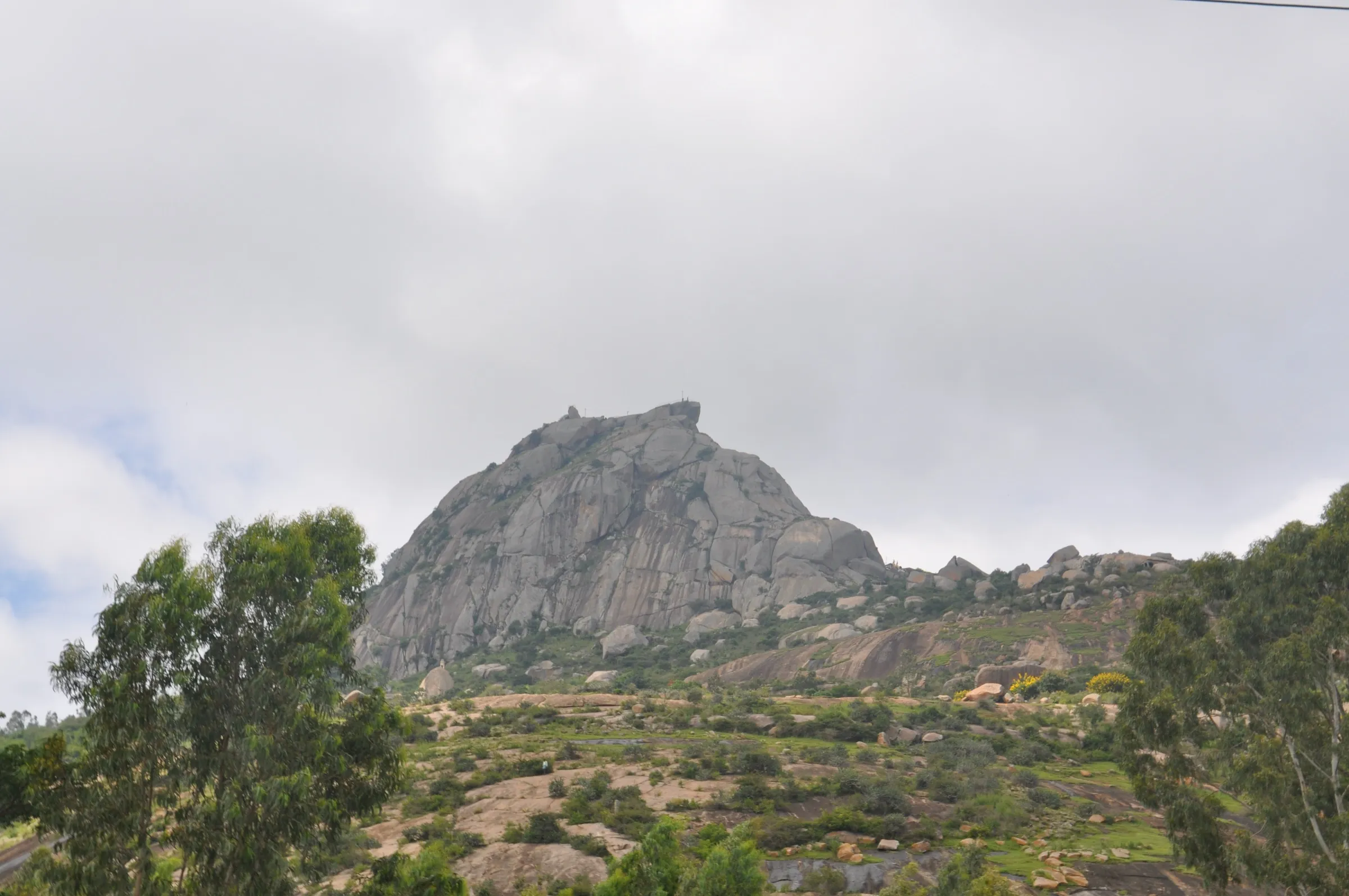
- Stone steps cut into a granite hill, past temples still in daily worship, to the rock-cave temple of Shri Veerabhadra Swamy near the top
- Basava (Nandi) temple beside a pond that is the source of the Truna river
- Fort ruins, Ganga–Hoysala inscriptions and huge textured boulders with natural beehives
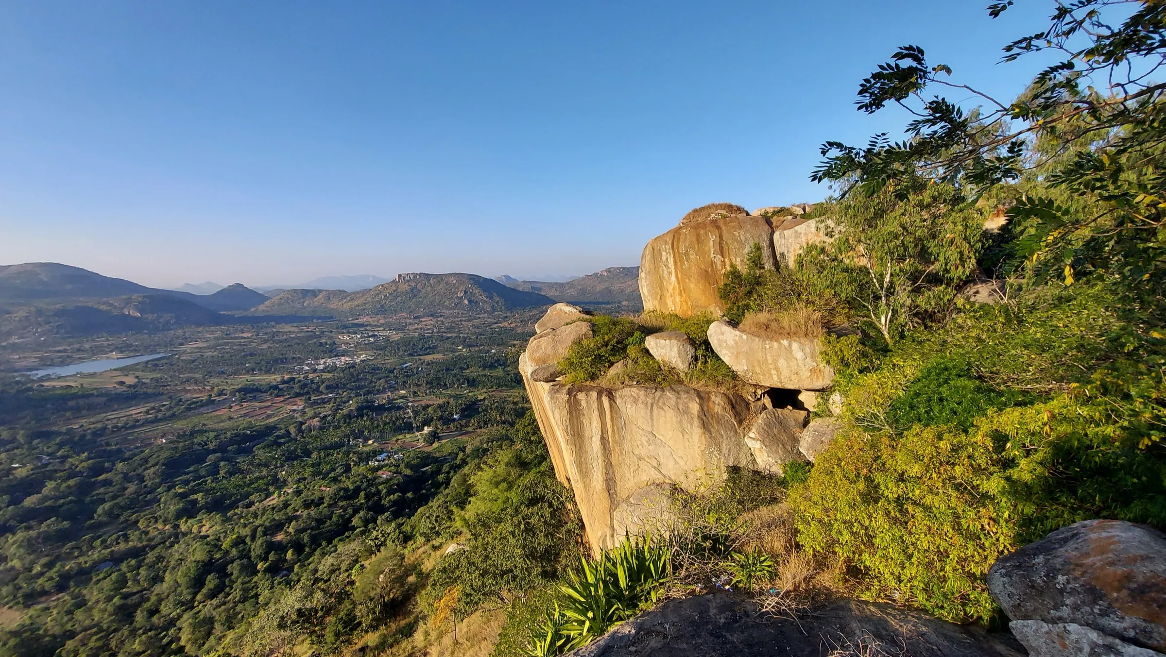
- Summit views over lakes, villages and the Halu Chalume Gange hills
Risks
- The last ~50 m to the summit is steep, loose and gravelly with few grip points; covered shoes and full-length trousers are advised for the thorny final stretch.
- Large rock beehives beside the trail: keep quiet and keep your distance.
- The forest around the hill has leopards and sloth bears (Forest Department). On 11 May 2026 Karnataka's Chief Wildlife Warden suspended trekking paths in areas with leopards, tigers, elephants and bears until each is certified safe; book only on Aranya Vihaara and follow the forest staff.
- Little shade higher up: heat in March–May; steps and rock are slippery in the June–August rains.
- Parking in front of the gopuram is unmonitored.
Know before you go
Questions
Do I need a permit for Hulukudi Betta?
Yes. Book online on the Karnataka Forest Department's Aranya Vihaara portal (aranyavihaara.karnataka.gov.in), choosing Bengaluru Rural district and 'Hulukudi Betta'. Check the portal for the current fee and slot times.
Is Hulukudi Betta good for beginners?
Yes. Most of the climb is on stone steps, and the Forest Department lists it at its easiest trail level. Only the short final section to the summit, through bushes and over loose gravel, needs care. The round trip takes under 3 hours.
How long is the Hulukudi Betta trek?
Roughly 2–3 km both ways. The Forest Department gives about 2.12 km both ways from the trek start to the Veerabhadraswamy temple hilltop; Indiahikes gives 3 km both ways to the summit. Allow 2–3 hours.
How far is Hulukudi Betta from Bengaluru?
About 55–70 km, around 1.5–2 hours by road via Doddaballapur. The start is near Sakkaregollahalli village, about 15–18 km from Doddaballapur.
Do I need a guide?
Indiahikes says a guide is not needed: the path is well marked, and once you have booked online you can walk on your own.
In an emergency
Save these numbers before you lose signal. Tap to call.
- 112All emergenciesIndia’s single emergency number — works in every state
- 108Ambulance
- 1077District disaster control room
You are in
District: Bengaluru Rural, renamed Bengaluru North (Doddaballapur taluk)Karnataka
- Nearest hospital
- Doddaballapur District Hospital, about 18 km
- Last ATM
- Doddaballapur (about 18 km)
- Phone network
- Not confirmed; the hill is in open farmland near Doddaballapur, so expect usable signal for major networks with possible weak patches.
Before you set off
- Tell someone your route and when you will be back.
- Carry a charged phone and a power bank.
- Download an offline map of the route.
- Turn back if the weather turns bad — the mountain will wait.
Questions about Hulukudi Betta
No questions yet. Ask something and trekkers who have done it can answer.
Share your trek photo with #TreksAndTrails
I trekked this
Did Hulukudi Betta look different from this page? Tell us what changed and we will check it.
Where this comes from
Sources
Last reviewed:
- Aranya Vihaara – Hulukudi Betta (Bengaluru Rural, trek id 143) — Karnataka Forest Department (official)
- A Complete Guide to the Hulukudi Betta Trek — Indiahikes