Bashal Peak Trek
Shimla, Himachal Pradesh
Opens without signal on this phone, with the map file and checklist. Saved for offline →
- Max altitude
- 3,719 m
- Days
- 1 day
- Distance
- 12 km
- Difficulty
- Difficult
Listings call it an easy one-day hike, but it climbs about 1,500 m from Sarahan in a single day on an unmarked, often lost trail through dense forest with bears; trip reports took 7 to 11 hours to reach the top.
Photos
On the trail
The route
Day by day
Day 1 · highest point
Sarahan → Sarahan (via Bashal Peak)
2,165 m → 3,719 m → 2,165 m
Ups and downs
Altitude profile
Where it is
Map
Trailhead and high point only — not a recorded track. Use it with a proper map.
Weather
Next 5 days on the trail
Live forecast for the trailhead and the high point. Mountain weather changes fast — check again on the morning you start.
Trailhead · Sarahan (Bhimakali temple area)
at 2,165 mLoading forecast…
High point · Bashal Peak (grassy top above Sarahan; position approximate)
at 3,719 mLoading forecast…
Each day: high / low °C · rain mm and chance · snow cm · wind km/h
Weather data: Open-Meteo.comModel forecast, not an official warning. For alerts follow IMD and the local administration.
Plan the trip
How to reach
- Trailhead
- Sarahan (Bhimakali temple area)
- Nearest railway
- Shimla (narrow gauge); Kalka for broad gauge
- Nearest airport
- Shimla (Jubbarhatti), with irregular flights; Chandigarh Airport (about 285 km) is the reliable option
- By road
- Shimla (about 170 km via Rampur and Jeori on NH5; get off Kinnaur-bound buses at Jeori and take a local bus or shared jeep up to Sarahan)
- Drive
- About 6 h from Shimla
Plan the trip
Permits and fees
We could not confirm the current permit rules and fees from an official source. Check with the local forest department or tourism office before you go.
Plan the trip
Cost
Self-guided
₹1,500–4,000
With an operator
₹2,500–6,000
Per person, ex-Sarahan. No operator publishes a current price for this trek, so both ranges are our estimates: self-guided covers a local guide's day fee shared in a small group, packed food and one night in Sarahan (Bhimakali temple guesthouse dormitories from about ₹200; HPTDC Hotel Srikhand from about ₹3,090 a night in 2025); guided covers a private local guide arranged through a Sarahan hotel. Getting to Sarahan from Shimla by HRTC bus costs about ₹400-600 plus ₹50-60 for the Jeori-Sarahan leg.
Gear
Top picks for this trek
The gear that matters most on this route, chosen from its altitude, season and risks.
 Ad · affiliate link
 Ad · affiliate link
 Ad · affiliate link
 Ad · affiliate link
 Ad · affiliate link
 Ad · affiliate link
 Ad · affiliate link
- Ad · affiliate link
Store buttons open a search on that store, not a product we picked. As an Amazon Associate we earn from qualifying purchases. Photos show the kind of item, not a specific product. Affiliate disclosure
Packing checklist
Matched to this trek: altitude, season, days and the risks on the route.
Packed 0 of 28
Nights near 3,719 m can drop close to freezing even in summer. Pack one more warm layer than you think.
Tick each item as it goes in the bag.
Know before you go
Good to know
- Mobile network
- All networks with 4G work in Sarahan town; signal on the forested slopes above is not confirmed.
- Last ATM
- Rampur Bushahr, about 40 km from Sarahan
- Nearest hospital
- Rampur Bushahr (about 40 km); Shimla (about 170 km) for serious cases
- Water
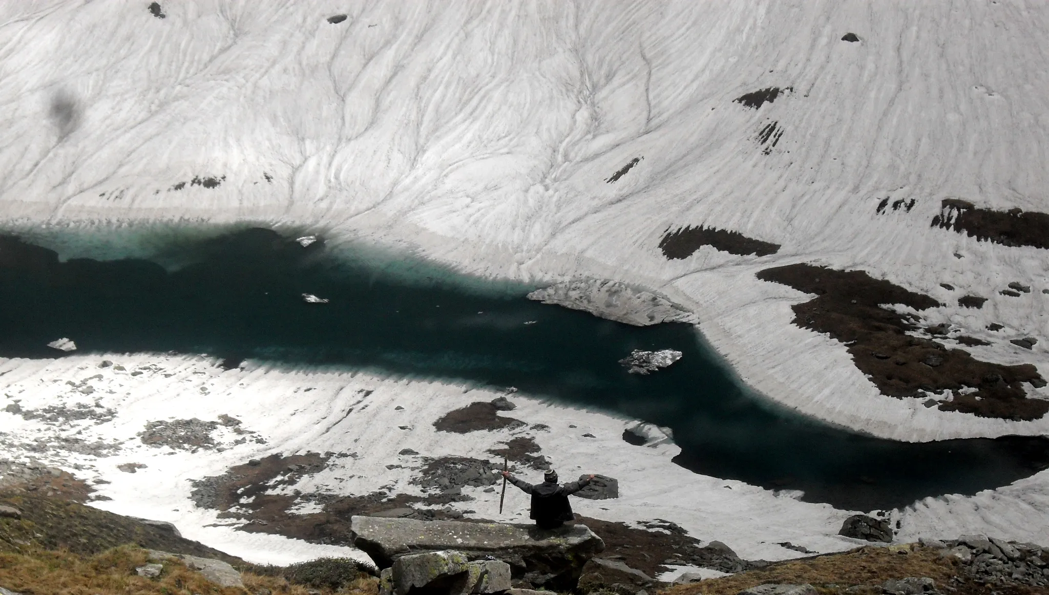
- A small stream near a shepherd shelter in the forest and a pond near the top; trekkers have run out of water on the descent, so carry at least 3 litres and treat stream water.
Highlights
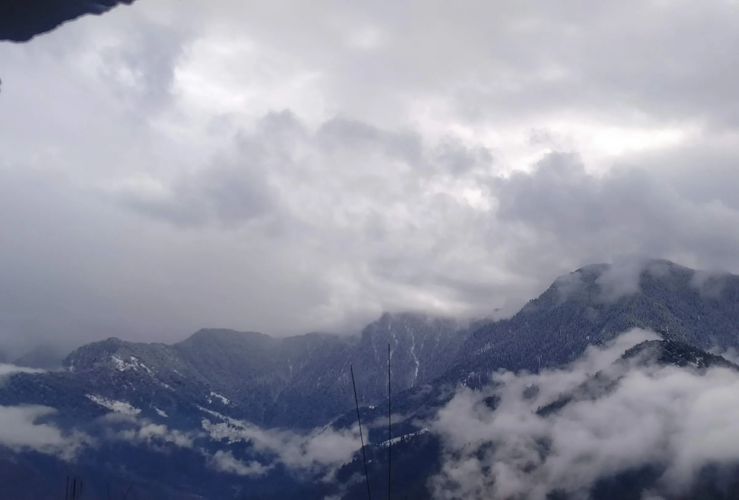
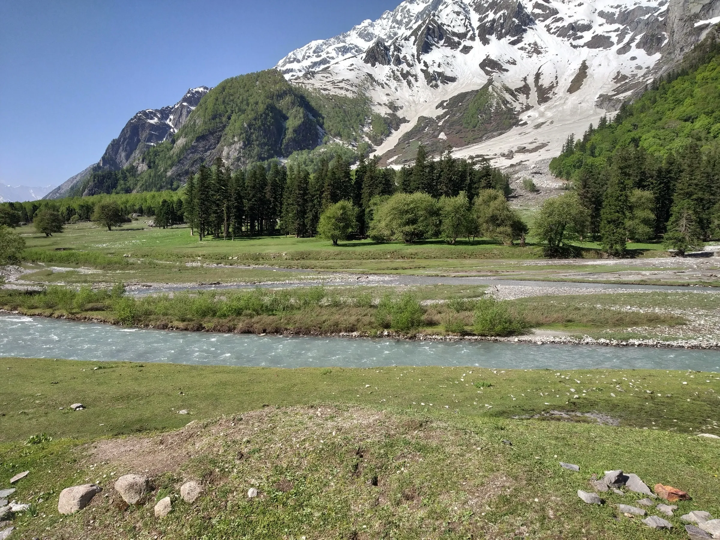
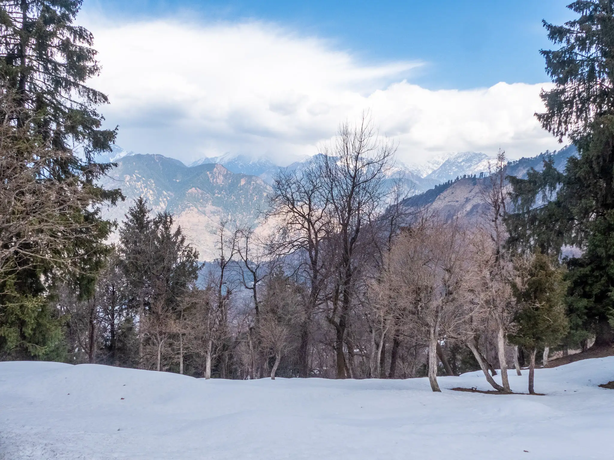
- A grassy summit at about 3,700 m with snow peaks of the Kinnaur and Shrikhand ranges across the Sutlej valley
- A day climb straight from Sarahan, the old Bushahr capital and home of Maa Bhimakali's temple
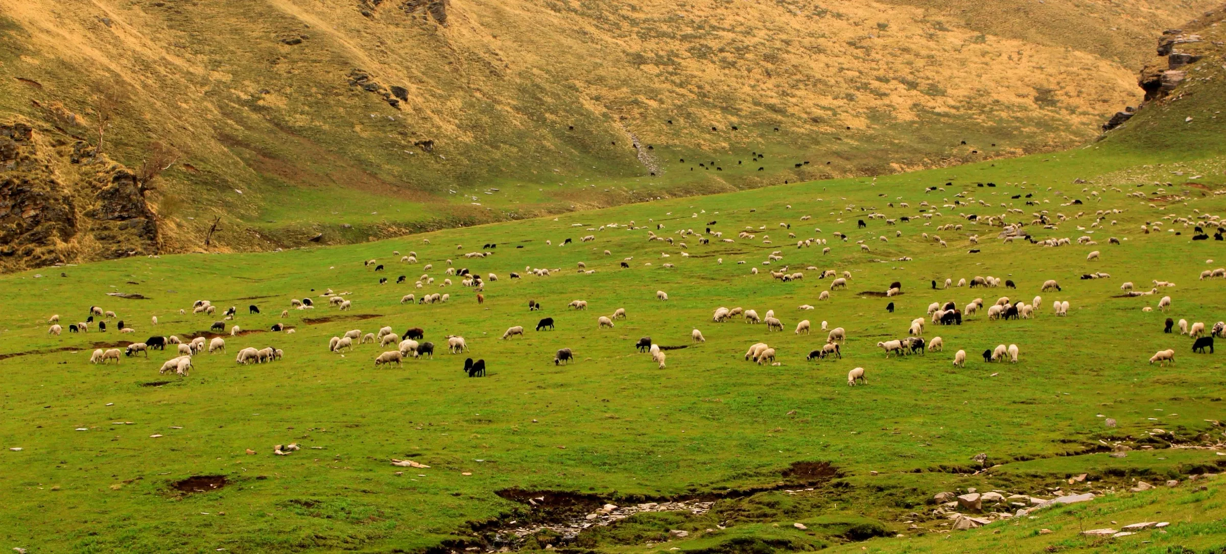
- Rolling high meadows with pink rhododendron and yellow flowers above dense deodar and oak forest
- Rarely trekked: you will mostly meet Gaddi and Gujjar shepherds and their flocks
Risks
- There is no marked trail above the orchards; trekkers report losing the path repeatedly in dense forest. Go with a local guide from Sarahan.
- Black bears live in these forests: trip reports describe meeting a bear family and a fatal bear attack near Sarahan. Start at dawn and stay in a group.
- The climb of about 1,500 m in one day is steep and long; parties have come down after dark. Turn back by early afternoon if the top is not in sight.
- Landslide scars on the descent towards the old Hindustan-Tibet road have short drops; do not improvise a route down.
- Monsoon (July-August) brings slippery slopes, leeches and snakes; one account was trapped by rain and dark clouds on the way down in late June.
Know before you go
Questions
How long does the Bashal Peak trek take?
It is done as a single long day from Sarahan. One trekker left at 6 am and reached the top at 1 pm, then needed more than three hours to come down; a 2014 group with two local guides took until about 5 pm to reach the top and returned at 10:30 pm. Plan on 10 to 12 hours and start at first light.
Do I need a guide for Bashal Peak?
Yes. There is no marked route through the forest, solo trekkers have got lost, and the forests have bears. Outlook Traveller and both trip reports advise hiring a local guide in Sarahan.
How high is Bashal Peak?
Trek listings give 12,200 ft, about 3,720 m, which is roughly 1,500 m above Sarahan (about 2,165 m). The top is a grassy high point rather than a rocky summit, with a sharper, higher peak further along the ridge.
When is the best time to climb Bashal Peak?
May-June and September-October. Sarahan gets snow from December to February, and July-August monsoon rain makes the forest slopes slippery and leech-infested.
How do I reach Sarahan?
Take a Kinnaur-bound HRTC bus from Shimla (or the evening bus from Chandigarh towards Kalpa) and get off at Jeori on the Sutlej; local buses and shared jeeps climb to Sarahan in under an hour. Sarahan is about 170 km from Shimla.
In an emergency
Save these numbers before you lose signal. Tap to call.
- 112All emergenciesIndia’s single emergency number — works in every state
- 108Ambulance
- 1077District disaster control room
You are in
District: ShimlaHimachal Pradesh
- Nearest hospital
- Rampur Bushahr (about 40 km); Shimla (about 170 km) for serious cases
- Last ATM
- Rampur Bushahr, about 40 km from Sarahan
- Phone network
- All networks with 4G work in Sarahan town; signal on the forested slopes above is not confirmed.
Before you set off
- Tell someone your route and when you will be back.
- Carry a charged phone and a power bank.
- Download an offline map of the route.
- Turn back if the weather turns bad — the mountain will wait.
Questions about Bashal Peak
No questions yet. Ask something and trekkers who have done it can answer.
Share your trek photo with #TreksAndTrails
I trekked this
Did Bashal Peak look different from this page? Tell us what changed and we will check it.
Where this comes from
Sources
Last reviewed:
- Bashal Peak Trek — Indiahikes (documented trek, trekker's report)
- Sarahan – Scaling the Peak of Adventure — TravelSeeWrite (Archana Singh)
- Outlook Traveller's Bucket List for 2022 — Outlook Traveller
- Bashal Peak Trek — TrekUp India
- Sarahan — India Travelogue
- Sarahan Detailed Travel Guide — Discover with Dheeraj
Photos: Mike Prince from Bangalore, India, CC BY 2.0; Gerd Eichmann, CC BY 4.0