- Max altitude
- 4,572 m
- Days
- 7 days
- Distance
- 40.5 km
- Difficulty
- Difficult
A high pass at about 4,572 m with a 9-10 hour crossing day from Dhunda to the river camp on the Kinnaur side; early-season snow lies on the approach and the pass, and later in the season the descent is over loose boulders. Indiahikes and Trek The Himalayas grade it moderate-difficult.
Photos
On the trail
The route
Day by day
Day 1
Shimla → Janglik (drive, about 150 km via Rohru and Chirgaon)
2,200 m → 2,865 m
Day 2
Janglik → Dayara Thach
2,865 m → 3,386 m
Day 3
Dayara Thach → Litham
3,386 m → 3,500 m
Day 4
Litham → Litham (via Chandranahan Lake)
3,500 m → 3,970 m → 3,500 m
Day 5
Litham → Dhunda
3,500 m → 4,090 m
Day 6 · highest point
Dhunda → River Camp, Munirang (via Buran Ghati)
4,090 m → 4,572 m → 3,275 m
Day 7
River Camp → Barua (drive to Shimla)
3,275 m → 2,355 m
Ups and downs
Altitude profile
Where it is
Map
Trailhead and high point only — not a recorded track. Use it with a proper map.
Weather
Next 5 days on the trail
Live forecast for the trailhead and the high point. Mountain weather changes fast — check again on the morning you start.
Trailhead · Janglik
at 2,865 mLoading forecast…
High point · Buran Ghati pass
at 4,572 mLoading forecast…
Each day: high / low °C · rain mm and chance · snow cm · wind km/h
Weather data: Open-Meteo.comModel forecast, not an official warning. For alerts follow IMD and the local administration.
Plan the trip
How to reach
- Trailhead
- Janglik (nearest town: Chirgaon)
- Nearest railway
- Shimla (narrow gauge from Kalka); Kalka is the nearest broad-gauge station
- Nearest airport
- Shimla (Jubbarhatti) Airport; Chandigarh has more flights
- By road
- Shimla (about 150 km via Theog, Kotkhai, Hatkoti, Rohru and Chirgaon to Janglik); Return from Barua via Sangla, Karcham and Rampur to Shimla (about 200-250 km)
- Drive
- About 8 h from Shimla
Plan the trip
Permits and fees
We could not confirm the current permit rules and fees from an official source. Check with the local forest department or tourism office before you go.
Plan the trip
Cost
Self-guided
₹9,000–15,000
With an operator
₹16,500–20,000
Per person, ex-Shimla where transport is booked with the operator, otherwise ex-Janglik. Guided prices published October 2026: Bikat Adventures ₹16,500 + 5% GST; Trek The Himalayas ₹17,500 + 5% GST (Shimla transport extra); Treks and Trails India ₹17,499 (triple) or ₹18,999 (double) + 5% GST; Indiahikes lists its fee in USD and charges ₹1,650 (Shimla-Janglik) and ₹2,450 (Barua-Shimla) per trekker for cabs. Self-guided is an estimate: buses or shared taxis Shimla-Rohru-Janglik and Barua-Sangla-Shimla, a local guide and porter or mules, tent and stove hire, food and forest camping fees.
Gear
Top picks for this trek
The gear that matters most on this route, chosen from its altitude, season and risks.
 Ad · affiliate link
 Ad · affiliate link
 Ad · affiliate link
 Ad · affiliate link
 Ad · affiliate link
 Ad · affiliate link
 Ad · affiliate link
 Ad · affiliate link
Store buttons open a search on that store, not a product we picked. As an Amazon Associate we earn from qualifying purchases. Photos show the kind of item, not a specific product. Affiliate disclosure
Packing checklist
Matched to this trek: altitude, season, days and the risks on the route.
Packed 0 of 35
Snow on the trail in May: microspikes, gaiters and a warm layer are not optional.
Tick each item as it goes in the bag.
Know before you go
Good to know
- Mobile network
- Patchy beyond Chirgaon; expect no signal on the trek and carry offline maps.
- Last ATM
- Rohru, on the drive from Shimla to Janglik
- Nearest hospital
- Civil hospital at Rohru for first care; IGMC Shimla for serious cases
- Water
- Streams and meltwater at Dayara, Litham and the river camp; Dhunda is near the snowline. Boil or treat all water.
Highlights
- Crossing Buran Ghati at about 4,572 m from the Pabbar valley in Shimla district into the Baspa side of Kinnaur
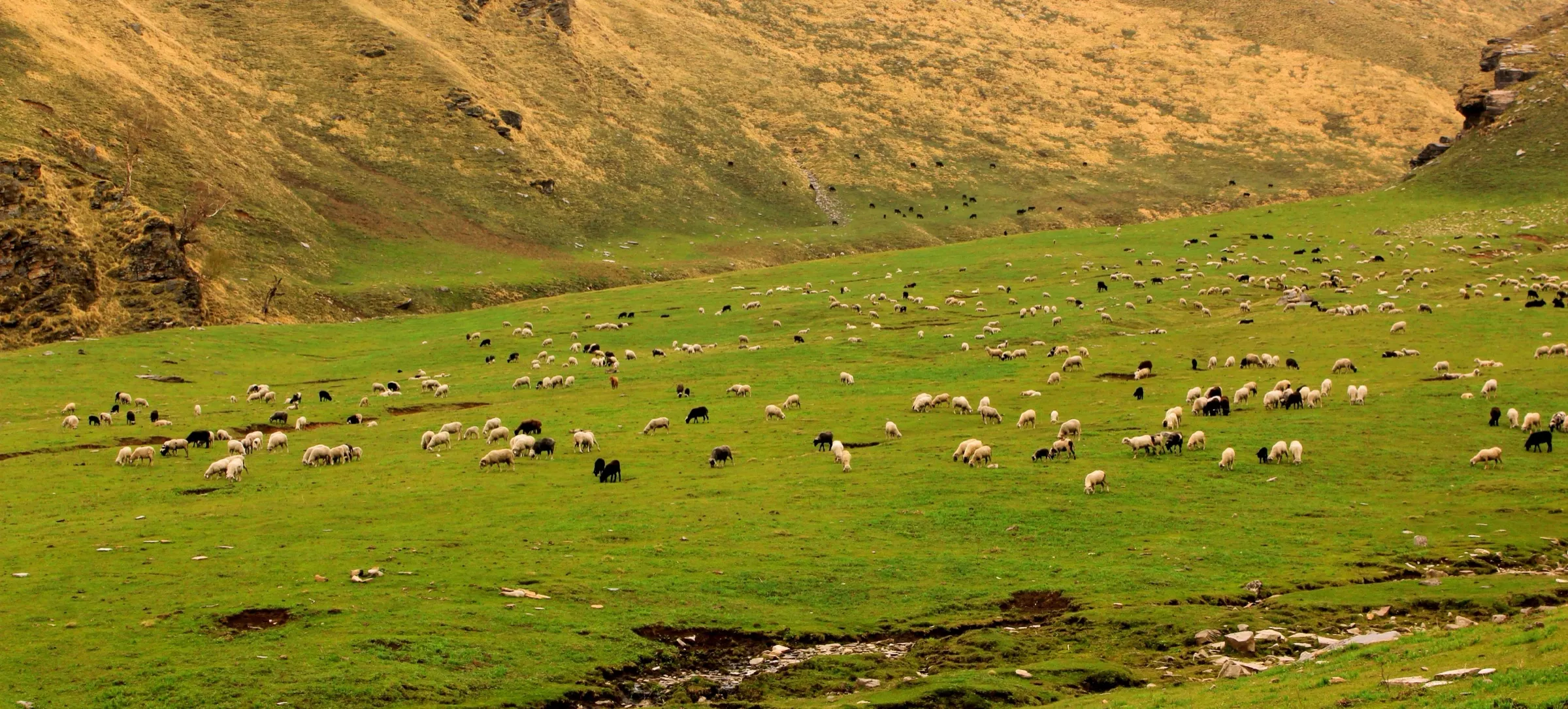
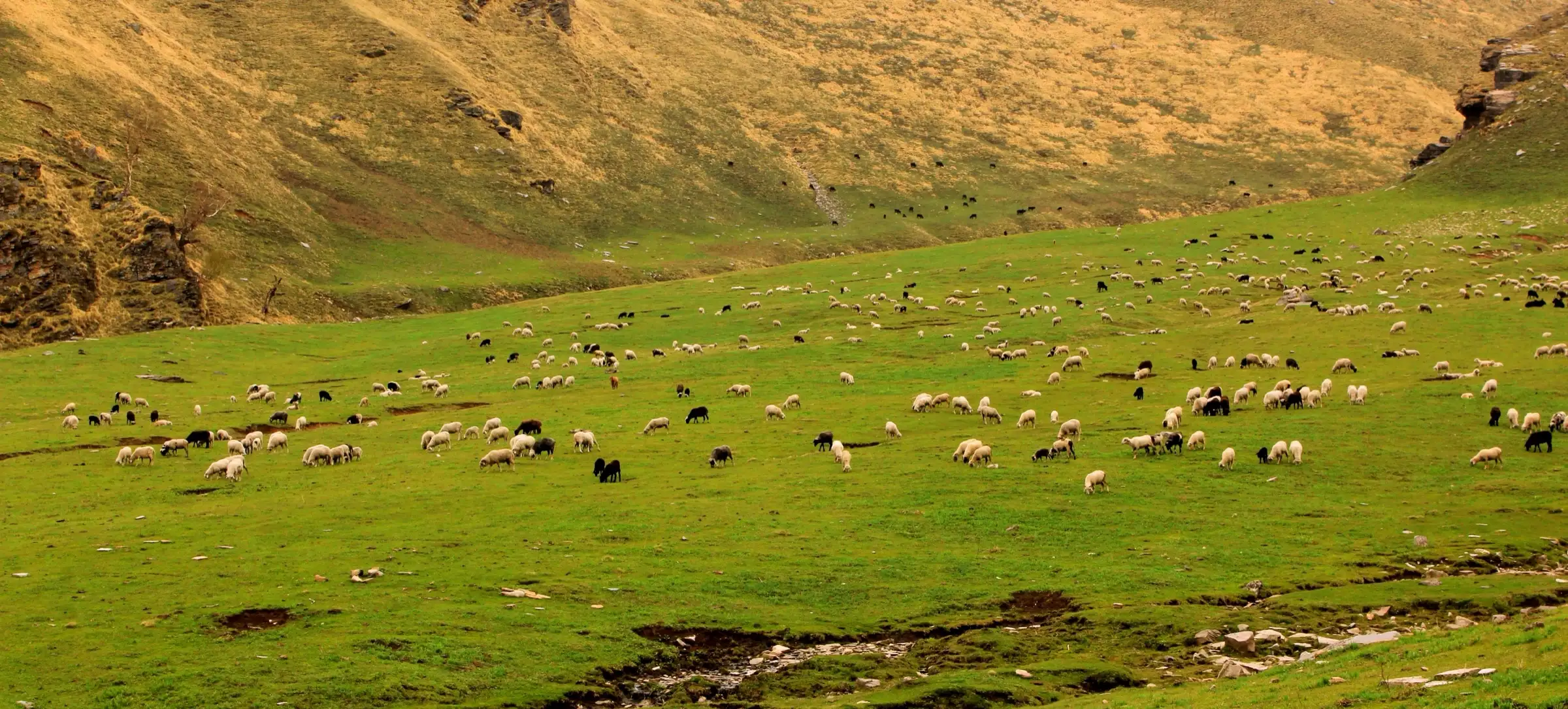
- Dayara Thach, a wide high meadow where shepherds graze large flocks in summer
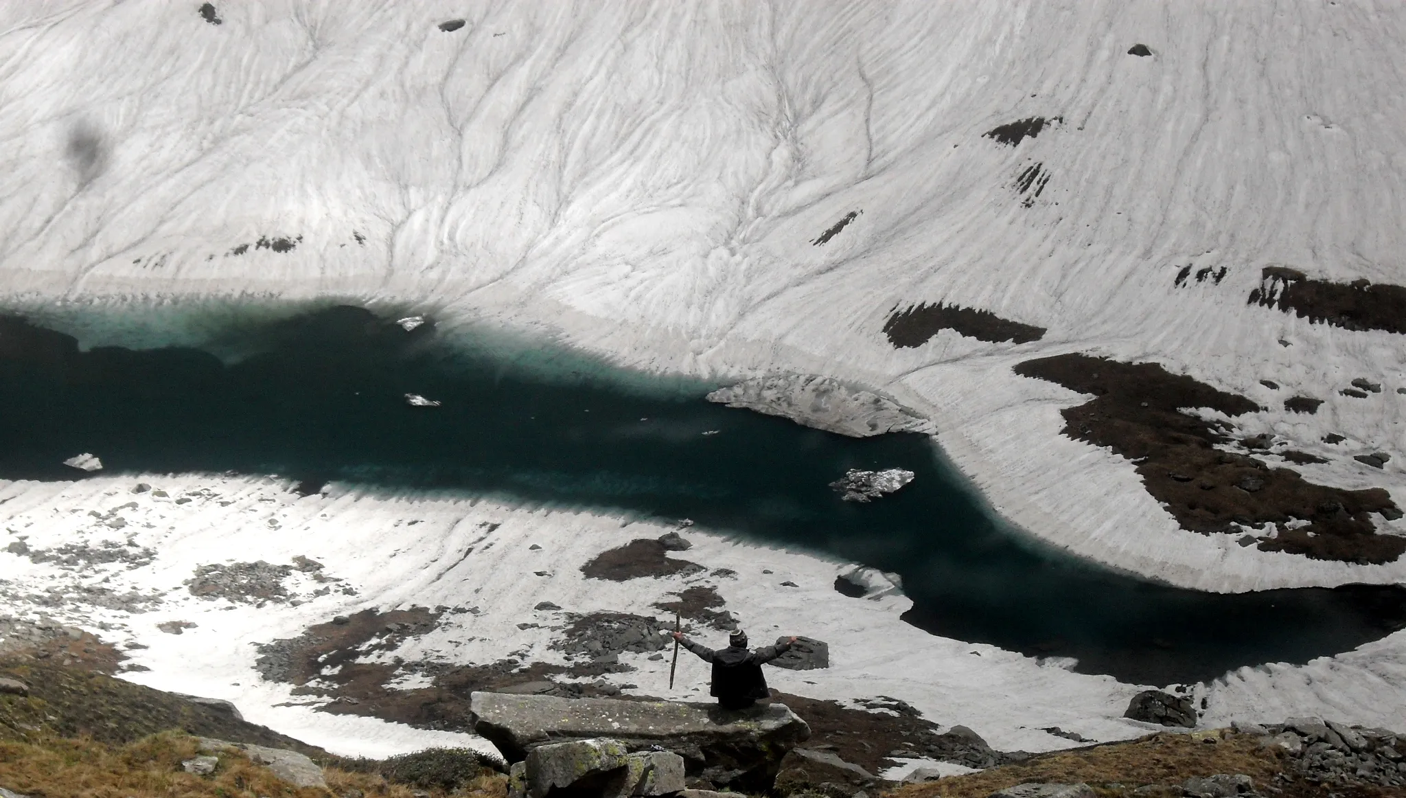
- An acclimatisation hike to the Chandranahan lakes, the source of the Pabbar river
- Ending in Barua near Sangla, among Kinnauri villages and apple orchards
Risks
- Pass day is 9-10 hours at altitudes above 4,000 m; altitude sickness is a real risk without the Chandranahan acclimatisation day.
- In May and June heavy snow lies before Litham and on the pass; from late June the descent is over loose boulders and a tricky stone trail.
- July-August monsoon rain makes the trail slippery and brings landslides on the roads to Janglik and from Barua.
- Weather can stop the crossing; operators keep a buffer day.
- March and April: Indiahikes says there is too much snow outside its mid-May to June season and no operator runs batches then; only one source names these months, so they are not listed as closed, but expect a snowbound pass and do not attempt it without snow experience and a guide.
Know before you go
Questions
When is the best time to do the Buran Ghati trek?
Mid-May to the end of June, when there is still snow on the pass and the meadows are green, and mid-September to mid-October for clear post-monsoon skies. Operators do not run it in winter, when snow blocks the pass, or in the July-August monsoon.
How difficult is Buran Ghati?
Indiahikes and Trek The Himalayas grade it moderate-difficult. The trekking days before the pass are 4.5-7.5 km, but pass day from Dhunda is about 8.5 km and 9-10 hours with a steep climb to about 4,572 m and a long descent to the river camp. Prior experience of a moderate trek helps.
How do I reach Janglik, the base village?
Janglik is about 150 km from Shimla, an 8-9 hour drive via Rohru and Chirgaon. Most operators pick up from Shimla Old Bus Stand early in the morning. The trek ends at Barua near Sangla, a 200-250 km drive back to Shimla.
Is there mobile network and an ATM on the way?
Mobile coverage becomes patchy after Chirgaon and is absent on the trek. The last ATM is in Rohru, so carry cash from there.
Do I need a permit for Buran Ghati?
Forest and camping permits are needed; guided operators arrange them and include the cost for Indian trekkers, while foreigners pay different charges. We could not confirm the current official fee, so self-guided trekkers should check with the forest office locally.
In an emergency
Save these numbers before you lose signal. Tap to call.
- 112All emergenciesIndia’s single emergency number — works in every state
- 108Ambulance
- 1077District disaster control room
You are in
District: ShimlaHimachal Pradesh
- Nearest hospital
- Civil hospital at Rohru for first care; IGMC Shimla for serious cases
- Last ATM
- Rohru, on the drive from Shimla to Janglik
- Phone network
- Patchy beyond Chirgaon; expect no signal on the trek and carry offline maps.
Before you set off
- Tell someone your route and when you will be back.
- Carry a charged phone and a power bank.
- Download an offline map of the route.
- Turn back if the weather turns bad — the mountain will wait.
Questions about Buran Ghati
No questions yet. Ask something and trekkers who have done it can answer.
Share your trek photo with #TreksAndTrails
I trekked this
Did Buran Ghati look different from this page? Tell us what changed and we will check it.
Where this comes from
Sources
Last reviewed:
- Buran Ghati Trek — Bikat Adventures
- Buran Ghati Trek — Indiahikes
- Best Time to do the Buran Ghati Trek — Indiahikes
- Buran Ghati Trek — Trek The Himalayas
- Buran Ghati Pass Trek — Himalayan Dream Treks
- Buran Ghati Trek — Treks and Trails India
- Best Time to do the Buran Ghati trek — TrekUp India
Photos: Sunil Sharma, CC BY-SA 4.0; Shobhla-Himachal, CC BY-SA 4.0; Bharatkaistha, CC BY-SA 4.0; Bharatkaistha, CC BY-SA 4.0