- Max altitude
- 4,329 m
- Satellite terrain suggests about 4,141 m
- Days
- 6 days
- Distance
- 39 km
- Difficulty
- Moderate
The trail is a paved pilgrim path, but the Hemkund Sahib day climbs about 1,300 m from Ghangaria to 4,329 m and back in one day, and monsoon rain makes the stone path and the Badrinath highway slippery and landslide-prone.
Photos
On the trail
The route
Day by day
Day 1
Rishikesh → Govindghat (drive, about 273 km)
340 m → 1,830 m
Day 2
Pulna (shared jeep from Govindghat) → Ghangaria
2,100 m → 3,050 m
Day 3
Ghangaria → Valley of Flowers and back to Ghangaria
3,050 m → 3,050 m
Day 4 · highest point
Ghangaria → Hemkund Sahib and back to Ghangaria
3,050 m → 4,329 m → 3,050 m
Day 5
Ghangaria → Pulna, then drive to Govindghat
3,050 m → 1,830 m
Day 6
Govindghat → Rishikesh (drive)
1,830 m → 340 m
Ups and downs
Altitude profile
Where it is
Map
Trailhead and high point only — not a recorded track. Use it with a proper map.
Weather
Next 5 days on the trail
Live forecast for the trailhead and the high point. Mountain weather changes fast — check again on the morning you start.
Trailhead · Govindghat / Pulna
at 2,100 mLoading forecast…
High point · Hemkund Sahib (Hemkund lake)
at 4,329 mLoading forecast…
Each day: high / low °C · rain mm and chance · snow cm · wind km/h
Weather data: Open-Meteo.comModel forecast, not an official warning. For alerts follow IMD and the local administration.
Plan the trip
How to reach
- Trailhead
- Govindghat / Pulna (nearest town: Joshimath (Jyotirmath))
- Nearest railway
- Rishikesh (273 km before Govindghat)
- Nearest airport
- Jolly Grant, Dehradun
- By road
- Rishikesh (about 273 km to Govindghat on NH-7/NH-58); Joshimath (about 20 km to Govindghat); Govindghat to Pulna by local shared jeep (about 4 km)
- Drive
- About 10 h from Rishikesh
Plan the trip
Permits and fees
We could not confirm the current permit rules and fees from an official source. Check with the local forest department or tourism office before you go.
Plan the trip
Cost
Self-guided
₹6,000–12,000
With an operator
₹8,500–53,000
Per person, ex-Rishikesh. Guided range runs from Trek Hievers' 6-day group trip (Rs 8,499) to Foliage Outdoors' 9-day trip with hotels and an Auli acclimatisation day (Rs 53,000); both add 5% GST. Self-guided is an estimate covering bus or shared taxi to Govindghat, the Pulna jeep, three or four nights in Ghangaria lodges, food and the park entry fee (pay online or at Ghangaria; check the current fee).
Gear
Top picks for this trek
The gear that matters most on this route, chosen from its altitude, season and risks.
 Ad · affiliate link
 Ad · affiliate link
 Ad · affiliate link
 Ad · affiliate link
 Ad · affiliate link
 Ad · affiliate link
 Ad · affiliate link
- Ad · affiliate link
Store buttons open a search on that store, not a product we picked. As an Amazon Associate we earn from qualifying purchases. Photos show the kind of item, not a specific product. Affiliate disclosure
Packing checklist
Matched to this trek: altitude, season, days and the risks on the route.
Packed 0 of 32
Nights near 4,329 m can drop close to freezing even in summer. Pack one more warm layer than you think.
Tick each item as it goes in the bag.
Know before you go
Good to know
- Mobile network
- Usable at Govindghat; weak and patchy at Ghangaria; expect none inside the valley or at Hemkund Sahib.
- Last ATM
- Joshimath; carry enough cash for Ghangaria lodges, food and ponies.
- Nearest hospital
- Government hospital at Joshimath (about 20 km from Govindghat); only basic first aid at Ghangaria.
- Water
- Tea stalls and dhabas line the paved path to Ghangaria, which is the last place with food and water; carry water and lunch into the valley and up to Hemkund.
Highlights
- UNESCO World Heritage alpine valley (with Nanda Devi National Park) carpeted with monsoon wildflowers
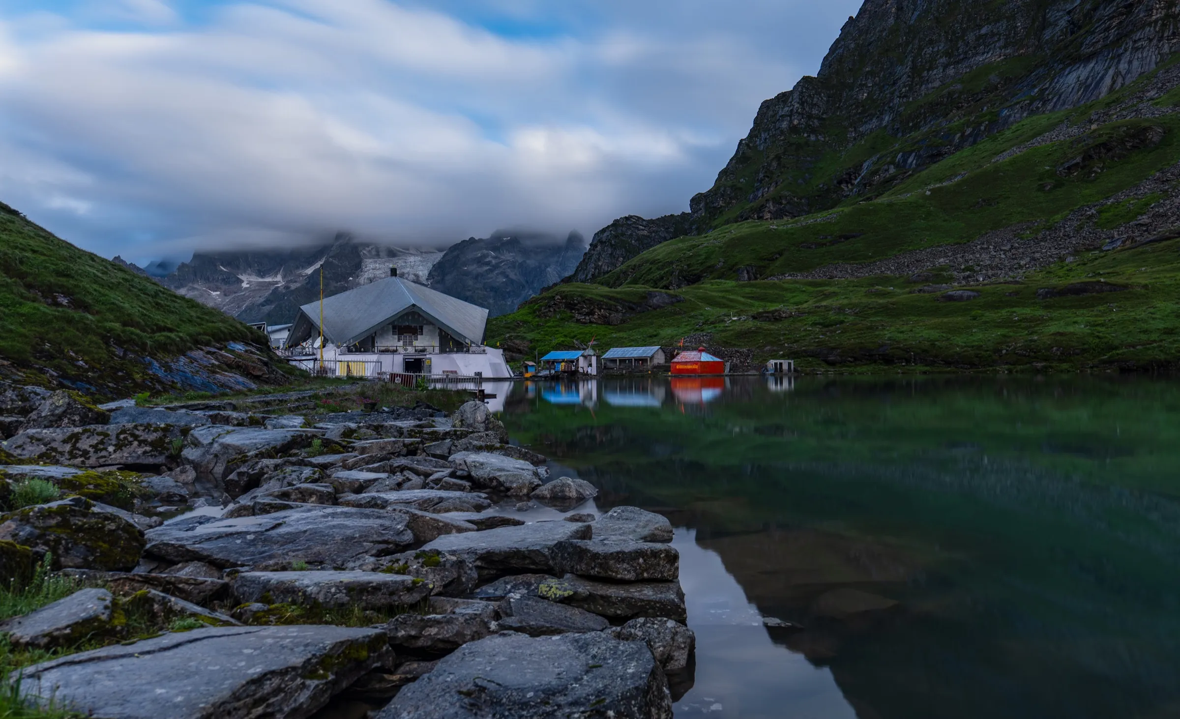
- Hemkund Sahib gurudwara beside a glacial lake at 4,329 m, a major Sikh pilgrimage
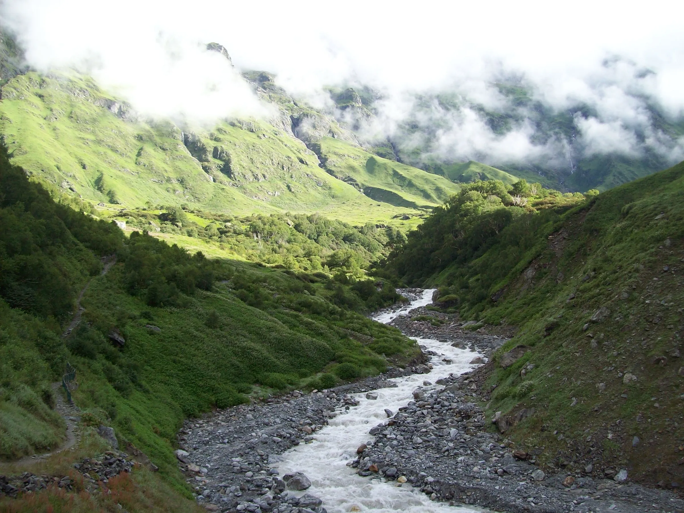
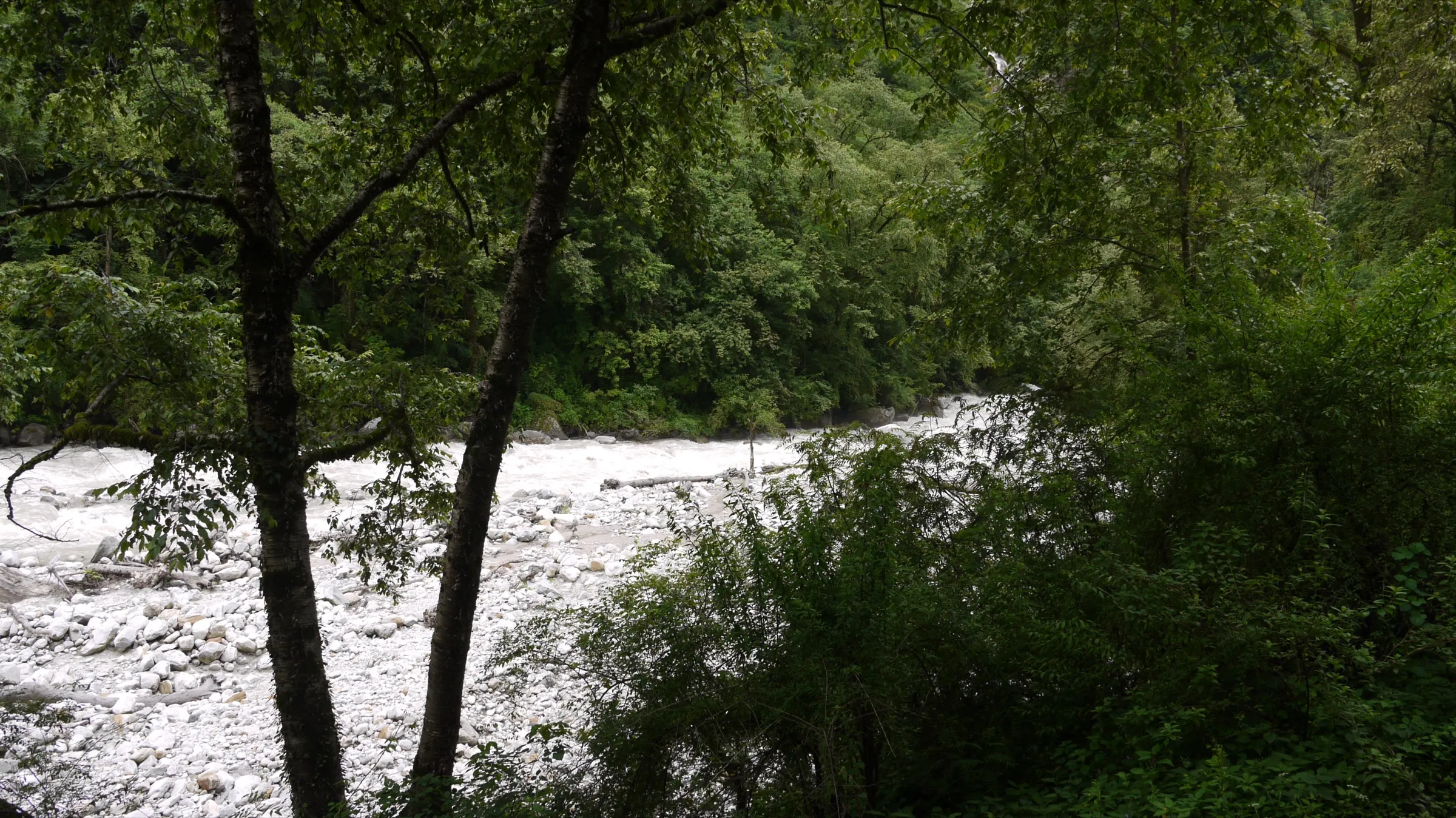
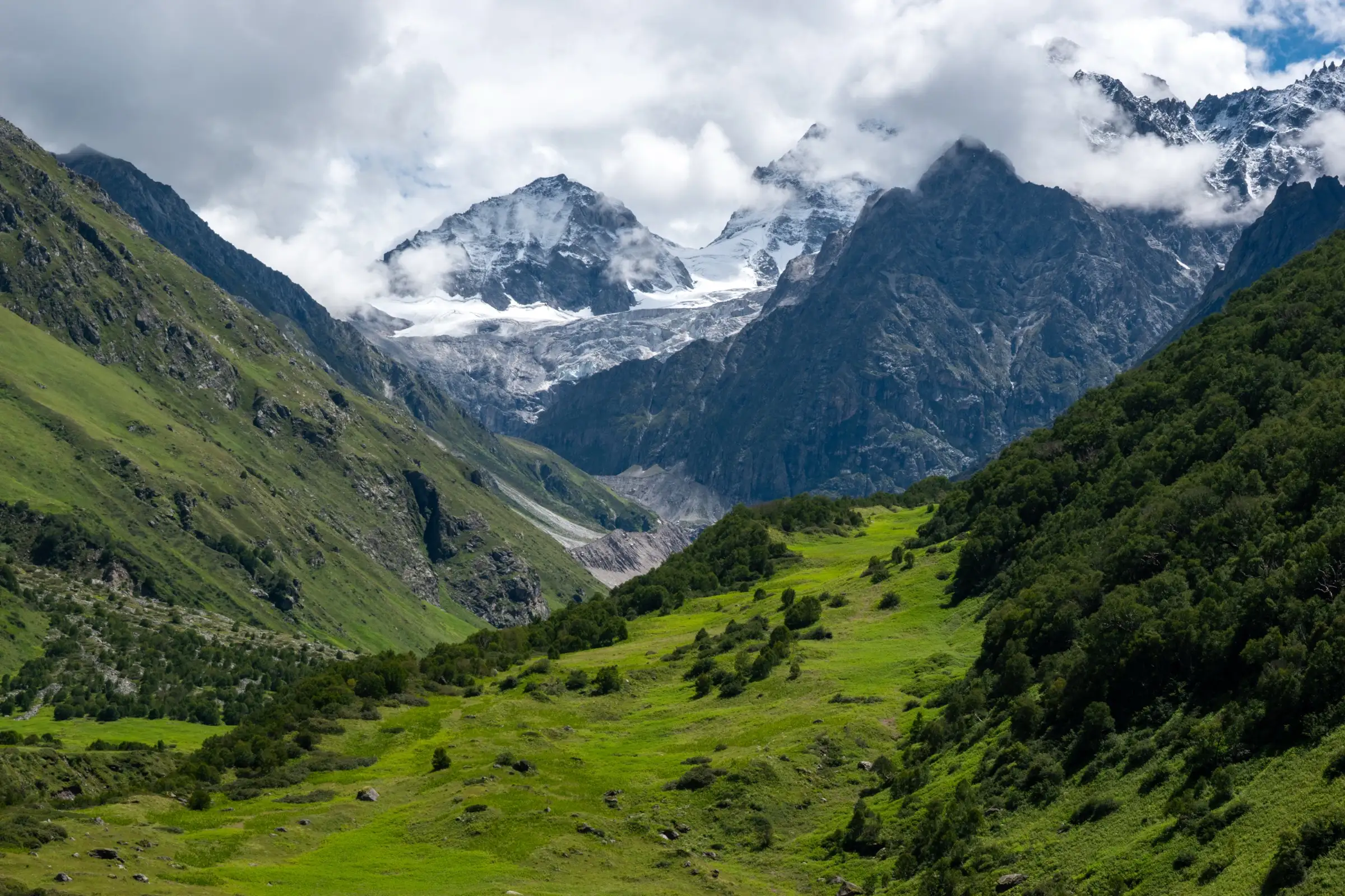
- Pushpawati river, waterfalls and snow-capped peaks along the walk into the valley
- Chance to see Brahma Kamal and the Himalayan blue poppy in the valley and around Hemkund in season
Risks
- Monsoon landslides frequently block the Rishikesh–Badrinath highway; keep a buffer day.
- Steep 1,300 m climb to Hemkund Sahib in one day; altitude headache is common for people coming straight from the plains.
- Wet, slippery stone path shared with ponies; no camping or overnight stay is allowed inside the valley, so you must be back at Ghangaria by 5 pm.
Know before you go
Questions
Do I need a permit for the Valley of Flowers?
Yes. The forest department charges an entry fee for the national park, valid for three days. It is now paid online on the forest department portal or at the Ghangaria check post; reported fees vary between years, so check the current amount before you go.
Can I camp inside the Valley of Flowers?
No. Camping and overnight stays are not allowed in the valley. You stay in lodges at Ghangaria, walk in after the gate opens in the morning and must be back at Ghangaria by about 5 pm.
When is the best time to see the flowers?
The park is open 1 June to 31 October, but the flowers are at their peak from July to September, with mid-July to mid-August usually the fullest bloom. This is also monsoon, so expect rain and keep a spare day.
Can Hemkund Sahib and the Valley of Flowers be done on the same trip?
Yes. Both share the trail from Govindghat/Pulna to Ghangaria. Most itineraries spend one day on the valley (about 4 km each way) and a second day on the steep 6 km climb to Hemkund Sahib and back.
Is the trek suitable for beginners?
Fit beginners manage it: the path is paved and ponies are available. The Hemkund Sahib day is the hardest, a steep climb of about 1,300 m in one day, so start early and descend by early afternoon.
In an emergency
Save these numbers before you lose signal. Tap to call.
- 112All emergenciesIndia’s single emergency number — works in every state
- 108Ambulance
- 1077District disaster control room
You are in
District: ChamoliUttarakhand
- Nearest hospital
- Government hospital at Joshimath (about 20 km from Govindghat); only basic first aid at Ghangaria.
- Last ATM
- Joshimath; carry enough cash for Ghangaria lodges, food and ponies.
- Phone network
- Usable at Govindghat; weak and patchy at Ghangaria; expect none inside the valley or at Hemkund Sahib.
Before you set off
- Tell someone your route and when you will be back.
- Carry a charged phone and a power bank.
- Download an offline map of the route.
- Turn back if the weather turns bad — the mountain will wait.
Questions about Valley of Flowers and Hemkund Sahib
No questions yet. Ask something and trekkers who have done it can answer.
Share your trek photo with #TreksAndTrails
I trekked this
Did Valley of Flowers and Hemkund Sahib look different from this page? Tell us what changed and we will check it.
Where this comes from
Sources
Last reviewed:
- Valley of Flowers: Rare Flora, Fauna & Alpine Beauty — Uttarakhand Tourism Development Board (official)
- Valley of Flowers National Park — Wikipedia
- Valley of Flowers National Park Opens For 2026 Season In Uttarakhand — Outlook Traveller
- Valley of Flowers Trek Uttarakhand — Bikat Adventures
- Valley of Flowers Trek — Indiahikes
- Valley of Flowers Trek — Trek Hievers
- Valley of Flowers Trek — Foliage Outdoors
Photos: Rohit Sharma, via Wikimedia Commons, CC BY-SA 4.0; Wiki maddymadhavan, via Wikimedia Commons, CC BY-SA 4.0; Vinayaraj, via Wikimedia Commons, CC BY-SA 4.0