Nandanvan Trek
Uttarkashi, Uttarakhand
Opens without signal on this phone, with the map file and checklist. Saved for offline →
- Max altitude
- 4,367 m
- Days
- 6 days
- Distance
- 60 km
- Difficulty
- Difficult
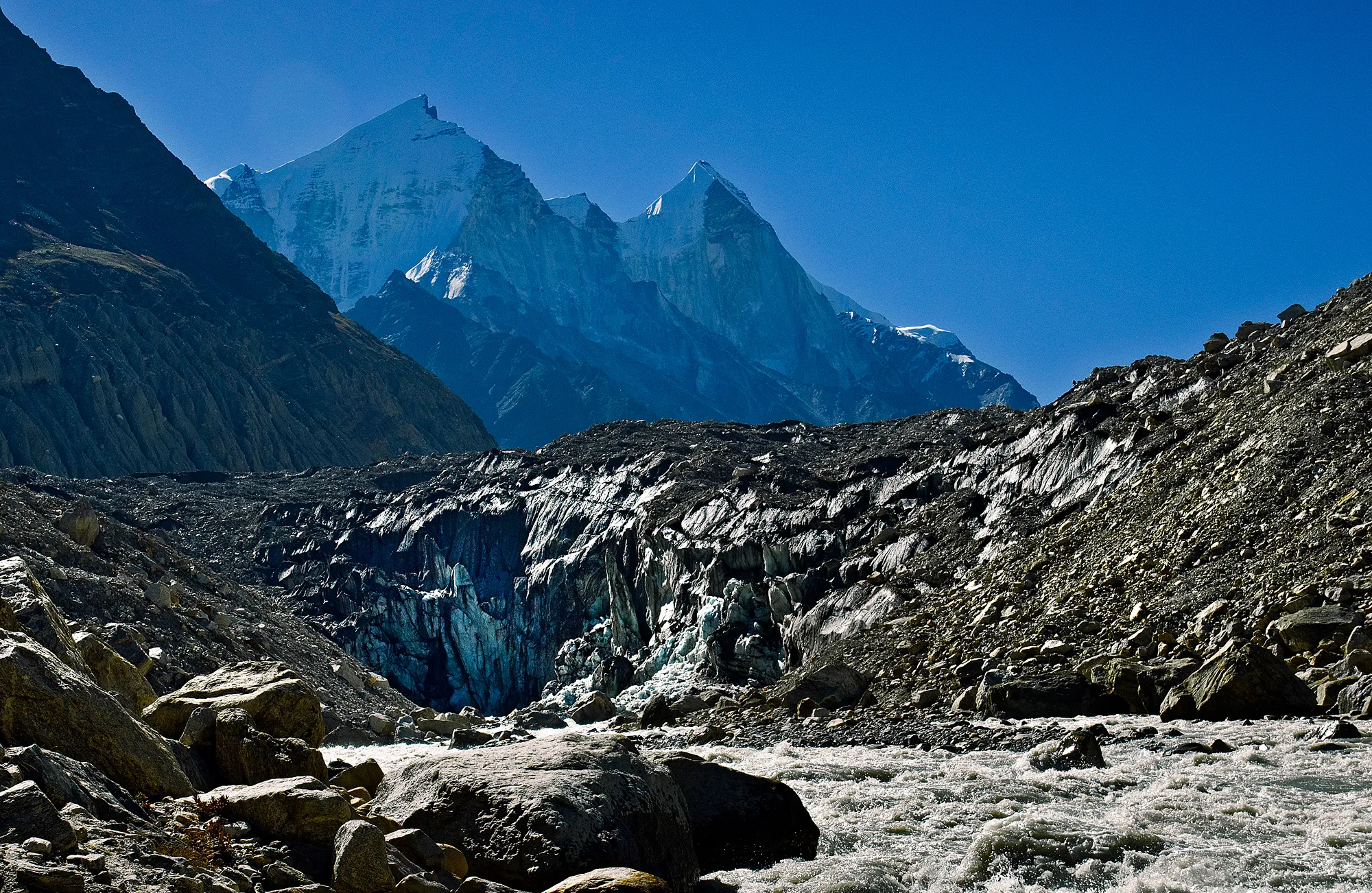
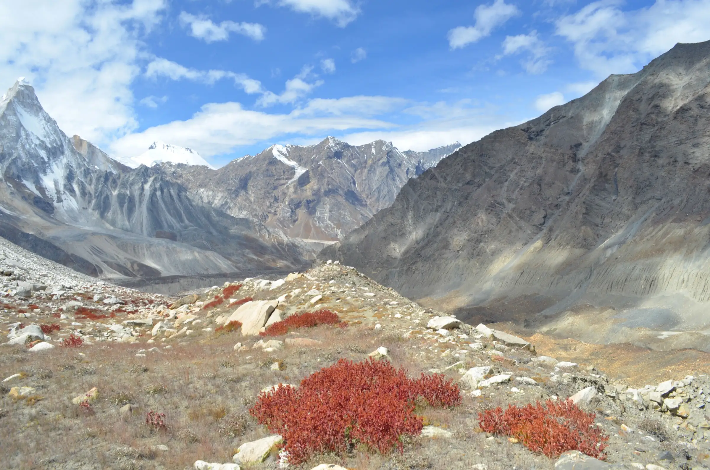
Beyond Gaumukh there is no fixed trail: you climb loose glacial moraine to Tapovan, then cross the 2-3 km wide, broken surface of the Gangotri Glacier to Nandanvan and back, with rock-fall slopes on both sides and every camp above 3,700 m.
Photos
On the trail
The route
Day by day
Day 1
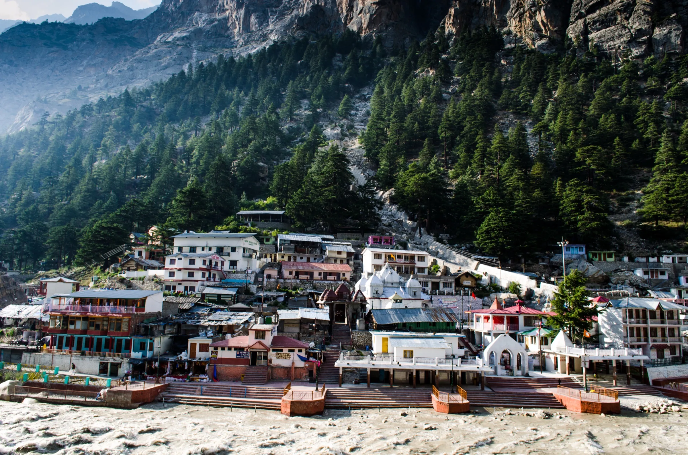
Dehradun → Gangotri
640 m → 3,065 m
Day 2
Gangotri → Bhojbasa (via Chirbasa)
3,065 m → 3,795 m
Day 3
Bhojbasa → Tapovan (via Gaumukh)
3,795 m → 4,329 m
Day 4 · highest point
Tapovan → Nandanvan (across the Gangotri Glacier)
4,329 m → 4,367 m
Day 5
Nandanvan → Bhojbasa (via Gaumukh)
4,367 m → 3,795 m
Day 6
Bhojbasa → Gangotri
3,795 m → 3,065 m
Ups and downs
Altitude profile
Where it is
Map
Trailhead and high point only — not a recorded track. Use it with a proper map.
Weather
Next 5 days on the trail
Live forecast for the trailhead and the high point. Mountain weather changes fast — check again on the morning you start.
Trailhead · Gangotri
at 3,065 mLoading forecast…
High point · Nandanvan meadow (below Bhagirathi II)
at 4,367 mLoading forecast…
Each day: high / low °C · rain mm and chance · snow cm · wind km/h
Weather data: Open-Meteo.comModel forecast, not an official warning. For alerts follow IMD and the local administration.
Plan the trip
How to reach
- Trailhead
- Gangotri
- Nearest railway
- Dehradun (Rishikesh is the other option)
- Nearest airport
- Jolly Grant Airport, Dehradun
- By road
- Dehradun (about 245 km via Uttarkashi and Harsil); Rishikesh (shared taxis, private cabs and seasonal buses, mostly leaving early morning); Uttarkashi (about 95 km; shared jeeps and local buses run daily to Gangotri in season)
- Drive
- About 9 h from Dehradun
Plan the trip
Permits and fees
We could not confirm the current permit rules and fees from an official source. Check with the local forest department or tourism office before you go.
Plan the trip
Cost
Self-guided
₹15,000–25,000
With an operator
₹25,000–40,000
Per person, ex-Dehradun/Rishikesh, for about six days plus the drive back from Gangotri. Great Adventure Gangotri publishes ₹25,550 ex-Rishikesh (October 2026) plus certificate, insurance and offloading extras; no second operator publishes a fixed price for this exact route, so the upper end is an estimate for smaller or private groups. Self-guided is an estimate: bus or shared jeep to Gangotri and back, two nights in Gangotri, park permit, the registered guide that is mandatory beyond Gaumukh, a porter, tent and stove hire, and food for four nights in camp.
Gear
Top picks for this trek
The gear that matters most on this route, chosen from its altitude, season and risks.
 Ad · affiliate link
 Ad · affiliate link
 Ad · affiliate link
 Ad · affiliate link
 Ad · affiliate link
 Ad · affiliate link
 Ad · affiliate link
 Ad · affiliate link
Store buttons open a search on that store, not a product we picked. As an Amazon Associate we earn from qualifying purchases. Photos show the kind of item, not a specific product. Affiliate disclosure
Packing checklist
Matched to this trek: altitude, season, days and the risks on the route.
Packed 0 of 36
Nights near 4,367 m can drop close to freezing even in summer. Pack one more warm layer than you think.
Tick each item as it goes in the bag.
Know before you go
Good to know
- Mobile network
- Airtel, BSNL and Jio work in Gangotri; beyond Gangotri the signal is patchy or absent, and there is none at Tapovan or Nandanvan.
- Last ATM
- Uttarkashi (cash often runs out there, so draw money in Dehradun)
- Nearest hospital
- Basic medical help at Gangotri; district hospital at Uttarkashi for anything serious, and AIIMS Rishikesh beyond that
- Water
- Side streams of the Bhagirathi up to Gaumukh and the Akash Ganga stream at Tapovan. The only water at Nandanvan is a small stream that can dry up late in the season, so carry enough from Tapovan and treat all glacial water.
Highlights
- Darshan of Gaumukh, the snout of the Gangotri Glacier, revered as the source of Maa Ganga, who flows out here as the Bhagirathi
- A crossing of the Gangotri Glacier itself, from Tapovan to the Nandanvan meadow where the Chaturangi Glacier joins it
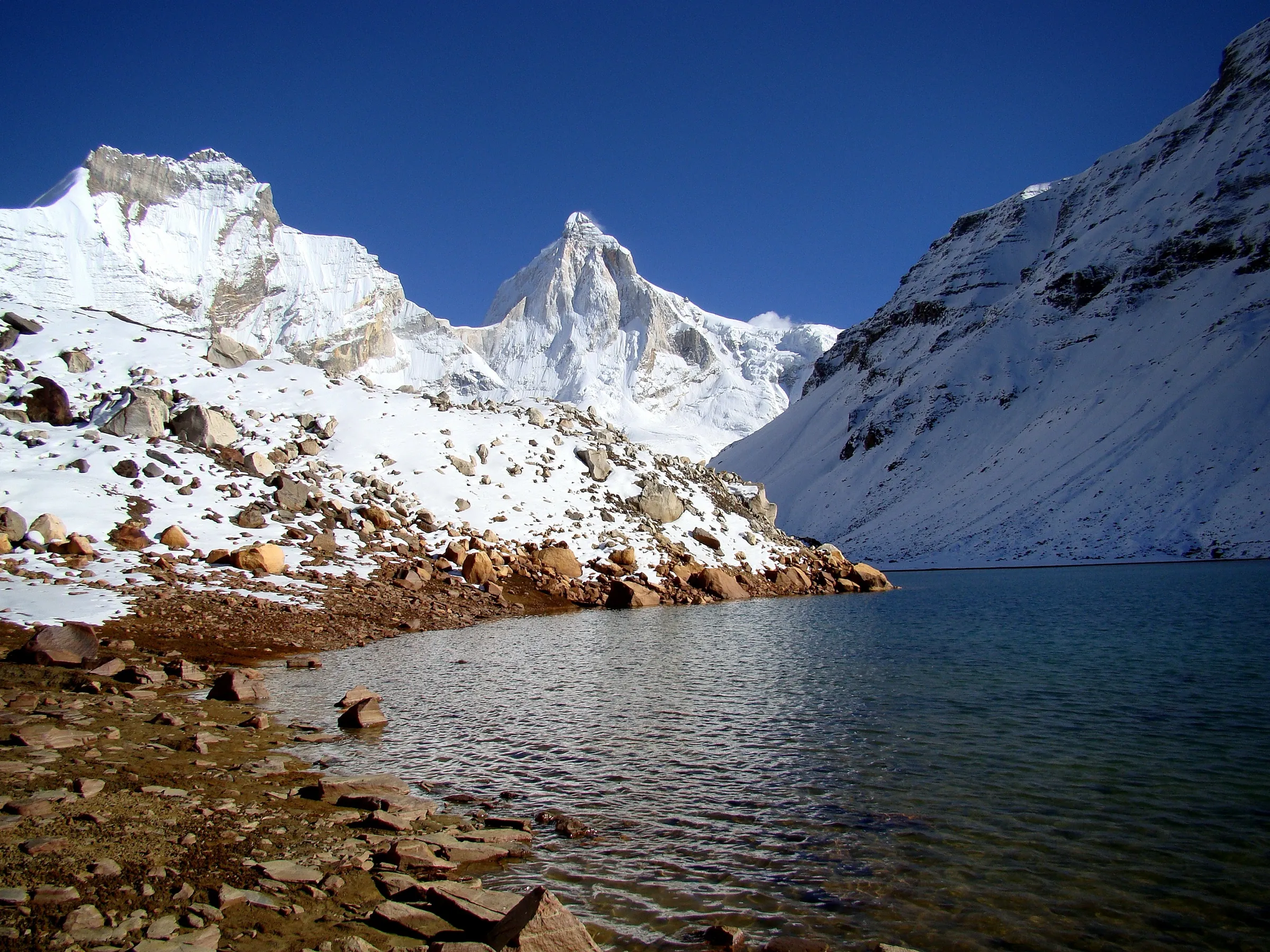
- Camp at the foot of Bhagirathi II, with Mt Shivling, Meru and Kedar Dome in view from Nandanvan
- Mt Shivling seen from base to summit at the Tapovan meadow, where sadhus have long done tapasya
Risks
- There is no fixed route across the Gangotri Glacier: the moraine shifts, thin ice slabs over meltwater can collapse, and route-finding takes hours in poor weather. Go only with an experienced registered guide.
- Rock-fall zones between Chirbasa and Gaumukh and on the climb up beside Akash Ganga to Tapovan: cross them quickly, one at a time, and before midday.
- The junction of the Chaturangi and Gangotri glaciers has collapsed, so the return from Nandanvan must go back through the middle of the Gangotri Glacier towards Gaumukh.
- Altitude sickness: Tapovan and Nandanvan are both about 4,300-4,450 m. Do not try Tapovan-Nandanvan-Bhojbasa in one day; camp at Nandanvan.
- Ice blocks regularly break off the Gaumukh snout. Do not go close to the ice cave or into the river below it.
- Pre-winter snow often reaches Bhojbasa and above after mid-October, and nights at Nandanvan fall well below zero.
Know before you go
Questions
How is the Nandanvan trek different from Gaumukh Tapovan?
It follows the same trail from Gangotri via Bhojbasa and Gaumukh to Tapovan, then goes on across the Gangotri Glacier to the Nandanvan meadow below Bhagirathi II, where the Chaturangi Glacier meets the Gangotri Glacier. That glacier crossing adds a day or two and makes it a harder trek.
How high is Nandanvan?
Indiahikes, which logged the route by GPS, gives 4,367 m for the Nandanvan campsite and 4,329 m for Tapovan; Great Adventure gives 4,338 m for Nandanvan and calls it the highest point of the trek. Other operators put Tapovan at about 4,460 m, so treat both meadows as roughly 4,300-4,450 m.
Do I need a permit and a guide?
Yes. Nandanvan is inside Gangotri National Park, and the Uttarakhand Forest Department issues a mandatory permit online or at the forest offices in Uttarkashi and Gangotri. Only 150 people a day are allowed on the Gaumukh trail, and a registered guide is mandatory for going beyond Gaumukh. Confirm the current fee and paperwork (ID, medical certificate) when you apply.
When is the best time to go?
May-June and September-October. The park is open only from 1 April to 30 November, and the trail is not walked in the July-August monsoon because of landslides and rock-fall.
How long is the Nandanvan trek?
About 55-60 km of walking from Gangotri and back, over five trekking days plus a day's drive each way from Dehradun or Rishikesh. Packages from Delhi run to 10 days.
In an emergency
Save these numbers before you lose signal. Tap to call.
- 112All emergenciesIndia’s single emergency number — works in every state
- 108Ambulance
- 1077District disaster control room
You are in
District: UttarkashiUttarakhand
- Nearest hospital
- Basic medical help at Gangotri; district hospital at Uttarkashi for anything serious, and AIIMS Rishikesh beyond that
- Last ATM
- Uttarkashi (cash often runs out there, so draw money in Dehradun)
- Phone network
- Airtel, BSNL and Jio work in Gangotri; beyond Gangotri the signal is patchy or absent, and there is none at Tapovan or Nandanvan.
Before you set off
- Tell someone your route and when you will be back.
- Carry a charged phone and a power bank.
- Download an offline map of the route.
- Turn back if the weather turns bad — the mountain will wait.
Questions about Nandanvan
No questions yet. Ask something and trekkers who have done it can answer.
Share your trek photo with #TreksAndTrails
I trekked this
Did Nandanvan look different from this page? Tell us what changed and we will check it.
Where this comes from
Sources
Last reviewed:
- Gangotri National Park — Incredible India (Ministry of Tourism, Government of India) (official)
- Gangotri National Park Reopens For Trek: Date, Permits, And What Travellers Need To Know — Outlook Traveller
- Tapovan Nandanvan Trek — Indiahikes
- Nandanvan Trek — Great Adventure Gangotri
- Gangotri Nandanvan Tapovan Trek — Tour My India
- Gaumukh: A Trekker's Paradise — ETV Bharat
- The Glacier Land (trip report, October 2012) — Dream Wanderlust
Photos: schwiki, CC BY-SA 4.0; Atudu, CC BY-SA 4.0; schwiki, CC BY-SA 4.0; DipankarSen68, CC BY-SA 4.0