Dhak Bahiri Trek
Pune (Maval taluka); the cave sits on the Raigad (Karjat taluka) border, Maharashtra
Opens without signal on this phone, with the map file and checklist. Saved for offline →
- Max altitude
- 823 m
- Days
- 1 day
- Distance
- 16 km
- Difficulty
- Difficult
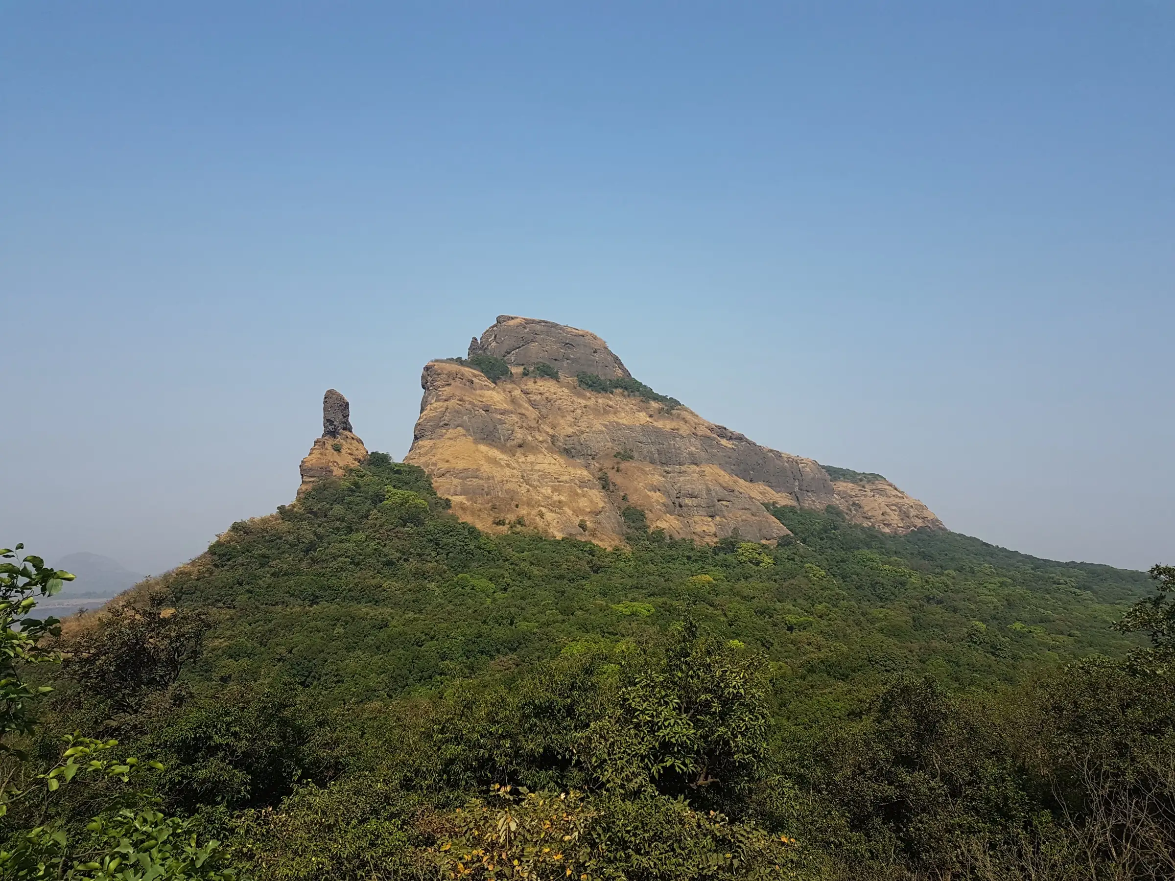
A forest and plateau walk ends at a semi-technical, near-vertical basalt rock patch (about 30 ft, put at roughly 70-75 degrees) with fixed ropes, steel wires and cut steps, above a drop of about 200 m; the approach gully has loose soil and a tree trunk used as a step. Not for beginners or anyone uneasy with exposure.
Photos
On the trail
The route
Day by day
Day 1 · highest point
Jambhavali → Jambhavali (via the col and Dhak Bahiri cave)
600 m → 823 m → 600 m
Ups and downs
Altitude profile
Where it is
Map
Trailhead and high point only — not a recorded track. Use it with a proper map.
Weather
Next 5 days on the trail
Live forecast for the trailhead and the high point. Mountain weather changes fast — check again on the morning you start.
Trailhead · Jambhavali (Jambhiwali) village
at 600 mLoading forecast…
High point · Dhak Bahiri cave
at 823 mLoading forecast…
Each day: high / low °C · rain mm and chance · snow cm · wind km/h
Weather data: Open-Meteo.comModel forecast, not an official warning. For alerts follow IMD and the local administration.
Plan the trip
How to reach
- Trailhead
- Jambhavali (Jambhiwali) village (nearest town: Kamshet)
- Nearest railway
- Kamshet or Lonavala (Mumbai-Pune line)
- Nearest airport
- Pune International Airport (Lohegaon)
- By road
- Kamshet station to Jambhavali (about 1 hour by hired vehicle); Lonavala station to Jambhavali via Kamshet (about 2 hours by hired vehicle); Pune to Kamshet (about 50 km)
- Drive
- About 2 h from Pune
Plan the trip
Permits and fees
We could not confirm the current permit rules and fees from an official source. Check with the local forest department or tourism office before you go.
Plan the trip
Cost
Self-guided
₹400–1,200
With an operator
₹2,800
Per person, ex-Lonavala/Kamshet. Treks and Trails India (treksandtrails.org, not connected with this site) lists Rs 2,800 for a camping package with transport from Lonavala or Kamshet, meals, a night's camp at Jambhavali and a trek leader; we could not confirm a second operator's current price. Self-guided is an estimate: local train to Kamshet, a shared or hired vehicle to Jambhavali, and a village guide shared by the group.
Gear
Top picks for this trek
The gear that matters most on this route, chosen from its altitude, season and risks.
 Ad · affiliate link
 Ad · affiliate link
 Ad · affiliate link
 Ad · affiliate link
 Ad · affiliate link
 Ad · affiliate link
 Ad · affiliate link
 Ad · affiliate link
Store buttons open a search on that store, not a product we picked. As an Amazon Associate we earn from qualifying purchases. Photos show the kind of item, not a specific product. Affiliate disclosure
Packing checklist
Matched to this trek: altitude, season, days and the risks on the route.
Packed 0 of 21
Tick each item as it goes in the bag.
Know before you go
Good to know
- Mobile network
- Not confirmed; expect weak or no signal on the scarp and inside the cave
- Last ATM
- Kamshet or Lonavala
- Nearest hospital
- Kamshet and Lonavala for first care; Pune for serious cases
- Water
- Rock-cut cisterns inside the cave hold water that drains from the rock face; there is little water on the approach, so carry 2 litres and treat cistern water
Highlights
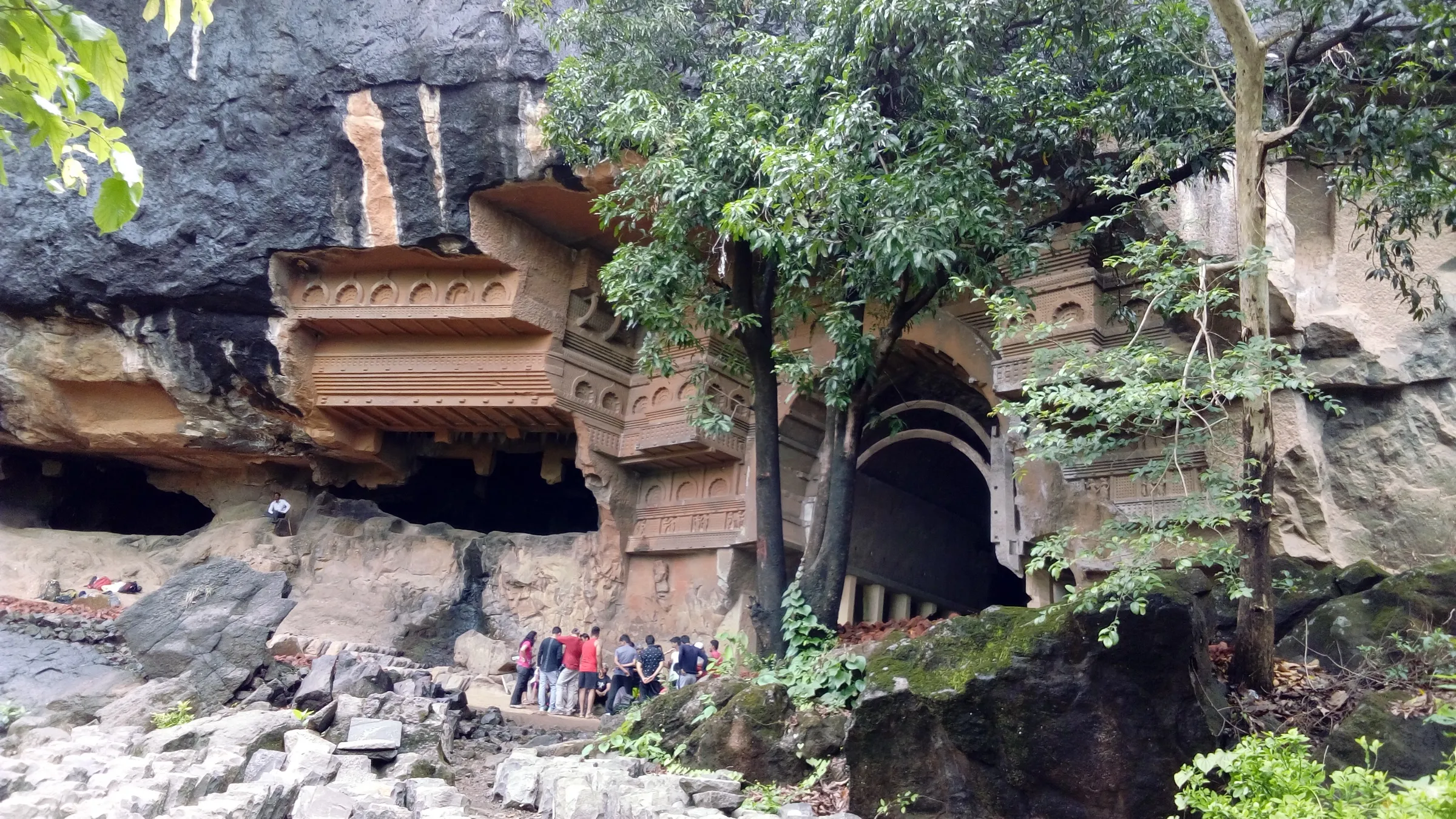
- Darshan of Bhagwan Bahiroba (Bhagwan Bhairav, a form of Bhagwan Shiva) in a cave cut into a near-vertical cliff, his murti anointed with shendur
- The final climb on fixed ropes, steel wires and cut steps up a sheer basalt wall
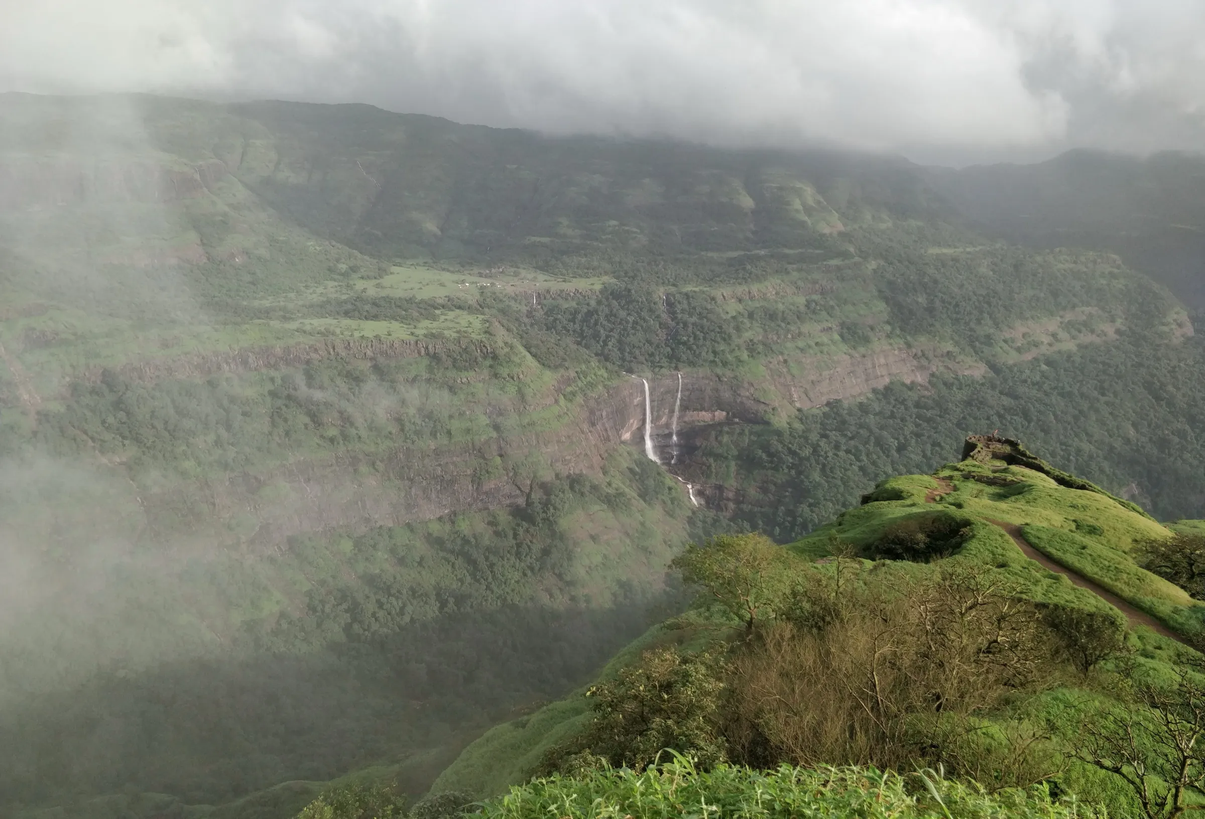
- Views from the cave mouth to Rajmachi's Shrivardhan and Manaranjan, Nagphani (Duke's Nose), Prabalgad, Karnala and Matheran
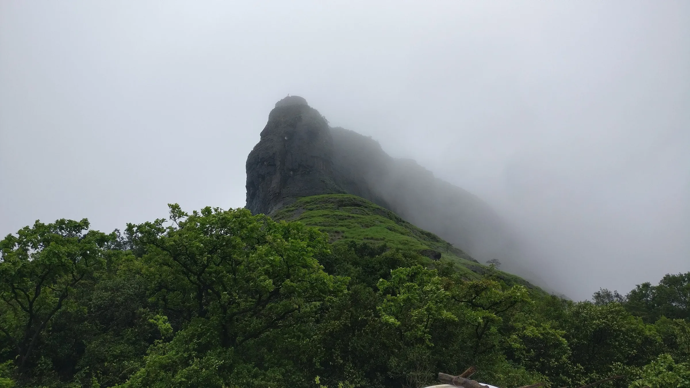
- The Dhak and Kalakrai (Kalkarai) pinnacles rising out of thick forest above the Ulhas valley
- Cooking vessels kept in the cave by the villagers for pilgrims and trekkers
Risks
- Exposure: the last section is a near-vertical rock patch (about 30 ft, put at 70-75 degrees) with fixed ropes and steel wires of unknown condition, above a drop of about 200 m. Go only with an experienced leader; operators and trip reports advise a harness and safety rope.
- Before the rock patch the route descends a narrow gully of loose soil and a further 40 m stretch where a slip could be fatal; a flexible tree trunk serves as a step. Several deaths have been reported here.
- The forest trail from the col is confusing and easy to lose; an IIT Bombay student went missing on this trek in October 2015. Never go alone, take a local guide from Jambhavali and start down in daylight.
- June-September monsoon: the basalt and gully turn slippery, with rockfall and landslide risk; Pune and Raigad district authorities issue monsoon prohibitory orders for forts and waterfalls (a Maval order in July 2026 was lifted after about 10 days). We found no order naming Dhak Bahiri, but check current orders before going.
- Little water on the approach and strong sun on the plateau in the dry months.
Know before you go
Questions
How difficult is the Dhak Bahiri trek?
It is a difficult day trek. The forest and plateau walk is moderate, but the last part is a near-vertical basalt rock patch of about 30 ft with fixed ropes, steel wires and cut steps above a big drop. Trip reports call it one of the toughest treks around Karjat and Lonavala and advise a harness.
Where does the Dhak Bahiri trek start?
Most groups start from Jambhavali (Jambhiwali) village in Maval, reached by vehicle from Kamshet or Lonavala station. The col above the village is about an hour's walk; from there the path follows the scarp to the rock patch below the cave.
Can I stay overnight in the Dhak Bahiri cave?
Yes. The cave has room for about 15-20 people and rock-cut cisterns of water, and the villagers keep cooking vessels there. Wash every vessel after use and put it back where you found it; this is a shrine of Bhagwan Bahiroba, so keep it clean.
Is Dhak Bahiri safe in the monsoon?
It is not advisable. The rock patch and loose gully become slippery and rockfall is common. District authorities in Pune and Raigad often restrict access to forts and waterfalls in the monsoon, so check current orders. October to February is the usual season.
Can I do Dhak Bahiri alone?
No. People have died and gone missing on this route. Locals and frequent trekkers advise never trekking alone, hiring a guide from Jambhavali, and starting the descent well before dark.
In an emergency
Save these numbers before you lose signal. Tap to call.
- 112All emergenciesIndia’s single emergency number — works in every state
- 108Ambulance
- 1077District disaster control room
You are in
District: Pune (Maval taluka); the cave sits on the Raigad (Karjat taluka) borderMaharashtra
- Nearest hospital
- Kamshet and Lonavala for first care; Pune for serious cases
- Last ATM
- Kamshet or Lonavala
- Phone network
- Not confirmed; expect weak or no signal on the scarp and inside the cave
Before you set off
- Tell someone your route and when you will be back.
- Carry a charged phone and a power bank.
- Download an offline map of the route.
- Turn back if the weather turns bad — the mountain will wait.
Questions about Dhak Bahiri
No questions yet. Ask something and trekkers who have done it can answer.
Share your trek photo with #TreksAndTrails
I trekked this
Did Dhak Bahiri look different from this page? Tell us what changed and we will check it.
Where this comes from
Sources
Last reviewed:
- Dhak Bahiri Caves Trek and Camping — Treks and Trails India
- Dhak Bahiri — Wikipedia
- Dhakbhairi — Durg Bharari
- Dhak Bahiri: an account of the road taken by missing IITB student — PaGaLGuY
- Lonavala Monsoon Travel: Restrictions Lifted at Tiger Point, Lohagad, Pawna Dam and Other Attractions — Punekar News
Photos: Harshad temgire, CC BY-SA 4.0; Harshad temgire, CC BY-SA 4.0; Harshad temgire, CC BY-SA 4.0